Click to visit the main New York Public Library Homepage
The New York Public Library
Digital Collections
About Digital Collections
Browse
Search only public domain materials
Items
Collections
Divisions
Home
Search
Browse
About
Search only public domain materials
Items
Collections
Divisions
Digital Collections
Using Images
Using Data
Search
Filtered search
Show filters
Hide filters
Show Only Public Domain
topic
Real property
3548
Cities & towns
3148
Fire insurance
3148
Zoning
109
Exhibitions
16
More
Less
name
Sanborn Map Company
3148
G.W. Bromley & Co
392
New York (N.Y.). Board of Estimate and Apportionment
108
New York World's Fair (1939-1940 : New York, N.Y.)
16
E.B. Hyde & Co
4
More
Less
collection
Atlases of New York City
3764
Maps of New York City and State
19
New York World's Fair 1939 and 1940 Incorporated records
16
Atlases, gazetteers, guidebooks and other books
2
William J. Wilgus papers
2
More
Less
place
New York (State)
3687
New York
535
Manhattan (New York, N.Y.)
395
New York (N.Y.)
111
Brooklyn (New York, N.Y.)
7
More
Less
genre
x
Maps
Plans
12
Index maps
9
Mass transit
2
Atlases
1
More
Less
publisher
Sanborn Map Company
3148
G.W. Bromley & Co
392
New York (N.Y.). Board of Estimate and Apportionment
145
Board of Estimate and Apportionment
36
The Board,
36
More
Less
division
Map Division
3789
Manuscripts and Archives Division
19
General Research Division
4
Milstein Division
2
Rare Book Division
1
type
cartographic
3815
still image
4
text
2
Date Range
to
3,815 results found
Filtering on:
x
Date
: 1927 - 1937
x
Genre
: Maps
Sort by:
Title
Date created
Date digitized
Sequence
m
Knickerbocker Village
m
Il dirigibile "Norge" alla sc…
m
Hammond's complete map of Bro…
Map of the borough of Brookly…
m
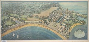
The John Wanamaker automobile…
Geroicheskiĭ pokhod
m
Map showing 50 miles around N…
Hagstrom's map of 50 mile rad…
m
Map of the borough of Brookly…
Transportation lines connecti…
Hagstrom's map of ... New Yor…
m
Map of original grants and fa…
m
Olympia stadtplan von Berlin
Nastoiashchee I budushchee Ka…
Map showing "52 Gramercy Park…
aert vande Svyd Rivier in Nie…
Map of Proposed Belt Railways…
Preliminary Study for a Great…
Map showing Ward's Island sup…
m
Hagstom's map of Long Island …
m
Daily menu menu, New York Cen…
Staten Island, N.Y., ed. of F…
Map of Pfalz
City of New Manhattan : propo…
m
Map of routes to the Holland …
Playland," Rye Beach : Westch…
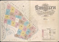
Insurance Maps of Brooklyn Ne…
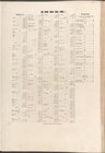
Index
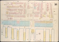
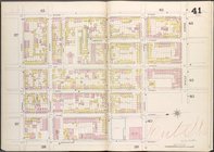
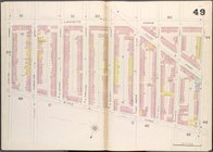
Brooklyn V. 2, Double Page Pl…
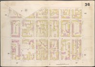
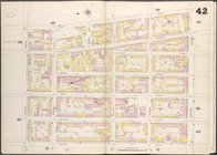
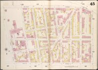
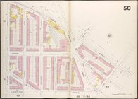
Brooklyn V. 2, Double Page Pl…
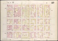
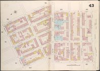
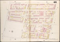
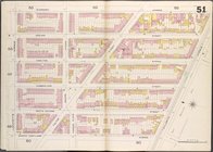
Brooklyn V. 2, Double Page Pl…
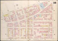
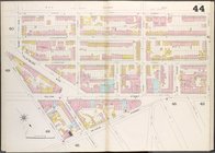
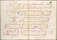
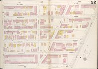
Brooklyn V. 2, Double Page Pl…
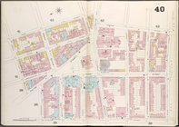
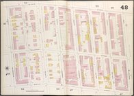
Brooklyn V. 2, Double Page Pl…
Brooklyn V. 2, Double Page Pl…
Brooklyn V. 2, Double Page Pl…
Brooklyn V. 2, Double Page Pl…
Brooklyn V. 2, Double Page Pl…
Brooklyn V. 2, Double Page Pl…
Brooklyn V. 2, Double Page Pl…
Brooklyn V. 2, Double Page Pl…
Brooklyn V. 2, Double Page Pl…
Brooklyn V. 2, Double Page Pl…
Brooklyn V. 2, Double Page Pl…
Brooklyn V. 2, Double Page Pl…
Brooklyn V. 2, Double Page Pl…
Brooklyn V. 2, Double Page Pl…
Brooklyn V. 2, Double Page Pl…
Brooklyn V. 2, Double Page Pl…
Brooklyn V. 2, Double Page Pl…
Brooklyn V. 2, Double Page Pl…
1
2
3
4
5
6
7
8
9
10
…
15
16
Previous
Next
1
2
3
4
5
6
7
8
9
10
…
15
16
Previous
Next