Click to visit the main New York Public Library Homepage
The New York Public Library
Digital Collections
About Digital Collections
Browse
Search only public domain materials
Items
Collections
Divisions
Home
Search
Browse
About
Search only public domain materials
Items
Collections
Divisions
Digital Collections
Using Images
Using Data
Search
Filtered search
Show filters
Hide filters
Show Only Public Domain
topic
City planning
942
Social conditions
942
Real property
294
Maps
92
Historic sites
54
More
Less
name
M.I.T. Press
942
New York (N.Y.). City Planning Commission
942
G.W. Bromley & Co
291
Siegel, Michael
47
Bureau of Social Science Research (Washington, D.C.)
8
More
Less
collection
Atlases of New York City
1235
Cigarette cards
51
In motion : the African-American migration experience: Maps by Michael Siegel
47
Bancker plans
35
Maps of North America
24
More
Less
place
New York (State)
1239
New York (N.Y.)
1236
New York
947
Manhattan (New York, N.Y.)
205
Bronx (New York, N.Y.)
90
More
Less
genre
x
Maps
Advertisements
51
Advertising cards
51
Cards
51
Cigarette cards
51
More
Less
publisher
MIT Press
942
G.W. Bromley & Co
291
Rutgers Cartography
46
Service de géodésie et de cartographie
17
Producer not identified
8
More
Less
division
Map Division
1289
George Arents Collection
51
Schomburg Jean Blackwell Hutson Research and Reference Division
49
Manuscripts and Archives Division
37
Rare Book Division
4
More
Less
type
still image
1001
cartographic
492
text
75
Date Range
to
1,441 results found
Filtering on:
x
Date
: 1954 - 2013
x
Genre
: Maps
Sort by:
Title
Date created
Date digitized
Sequence
m
Maps
m
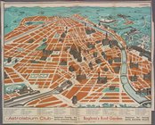
Visitor's Map of Florence
m
Map of Rome
m
Italian State Tourist Departm…
Track map of the trolley line…
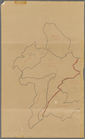
Map of portion of greater New…
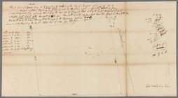
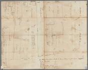
A draft domonstrateing....
Carte hydrogéologique, Républ…
A map of Barbary comprehendin…
Pencil sketch of part of Xien…
Ville de Savannakhet
m
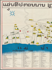
Tourist map of Vientiane
Plan du centre de Thakhek
Plan de la ville de Vientiane
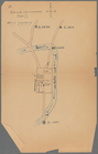
Pencil sketch of unidentified…
Pencil sketch of part of Vien…
m
Map of Sayaboury
m
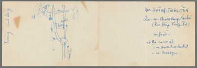
Map of part of Ho Chi Minh Ci…
m
Map of Laos : based on PEO La…
Map no. IV, Laos airfields
Lower right section of a shee…
m
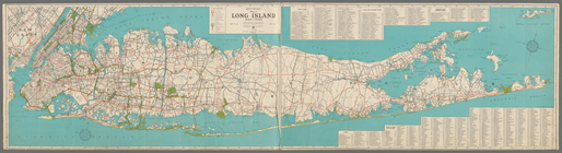
Hagstrom's map of Long Island…
m
Scene of Shelley's last years
The territory of Alaska : -- …
m
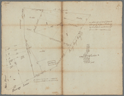
Land cleared near Mr. Apthorp…
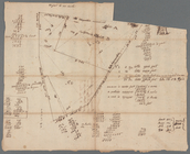
G, diagram of the state of Il…
m
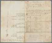
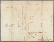
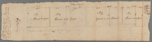
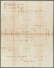
Wall Street
m
Stone Street
m
Mrs. Wever's lots in Queen St…
m
Little Queen, Crown and Cortl…
m
Kip's Bay
m
Now Ireland's, formerly schoo…
m
Survey of Lispenard land near…
m
James Delancey's lot and old …
m
Copy of a map of land at West…
m
Draft of the estate of the la…
m
Hospital, Broadway and Church…
m
Broadway and Fair Street
m
Northwest side of Broadway
m
Between Broadway, New Street,…
m
Survey of the Old House near …
m
Brevoort, Smith and Dawson's …
m
Richard Cunningham's ground a…
m
East side of Peck's Slip
m
Pearl Street
m
Old Slip
m
David Vance Smith
m
Brookland
m
Kings Bridge Road
m
Confidential Space Allocation…
1
2
3
4
5
6
Previous
Next
1
2
3
4
5
6
Previous
Next