Click to visit the main New York Public Library Homepage
The New York Public Library
Digital Collections
About Digital Collections
Browse
Search only public domain materials
Items
Collections
Divisions
Home
Search
Browse
About
Search only public domain materials
Items
Collections
Divisions
Digital Collections
Using Images
Using Data
Search
Filtered search
Show filters
Hide filters
Show Only Public Domain
topic
Real property
296
Fire insurance
92
Cities & towns
81
Railroads
80
Nautical charts
60
More
Less
name
Sanborn Map Company
84
Thornton, Samuel
76
Tiebout, Cornelius, 1777-1832
54
Colles, Christopher, 1738-1816
53
Rand McNally and Company
52
More
Less
collection
Maps of North America
281
Atlases of New York City
262
Atlases of the United States
211
Maps of New York City and State
177
Lawrence H. Slaughter Collection of English maps, charts, globes, books and atlases
157
More
Less
place
New York (State)
403
United States
140
New York
136
New York (N.Y.)
111
Brooklyn (New York, N.Y.)
93
More
Less
genre
x
Maps
Atlases
210
Nautical charts
95
Cadastral maps
21
Manuscript maps
20
More
Less
publisher
Sanborn Map Company
85
E. Belcher Hyde
36
G.W. Bromley & Co
31
M. Carey
27
Topographical Bureau
26
More
Less
division
x
Map Division
type
cartographic
1187
still image
21
text
16
Date Range
to
1,200 results found
Filtering on:
x
Division
: Map Division
x
Genre
: Maps
x
Note
: Inscribed "to S. Watson from Johns Fergusson."
Sort by:
Title
Date created
Date digitized
Sequence
A new and correct map of the …
m
Mercator projection exhibitin…
m
A chart of the discoveries of…
m
Map of property belonging to …
Rand, McNally & Co.'s new aut…
m
The John Wanamaker automobile…
m
Rand, McNally & Co.'s complet…
Brooklyn, from Rand McNally m…
Wall St. New York City, U.S.A…
Hagstrom's map of 50 mile rad…
Rand, McNally & Co.'s new han…
Rand McNally & Co.'s new hand…
Map showing the present dista…
Map of the Harlem River and S…
m
Data for population from cens…
Watson's new map of the city …
m
Topographical map of the city…
m
Rand McNally & Co.'s road map…
m
Watson's new map of New York …
m
Watson's new map of New York …
Map of portion of greater New…
m
Watson's new map of New York,…
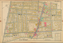
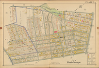
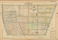
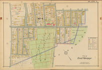
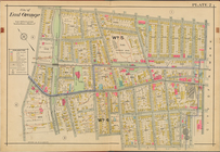
City of East Orange, Double P…
City of East Orange, Double P…
City of East Orange, Double P…
City of East Orange, Double P…
City of East Orange, Double P…
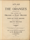
Atlas of the Oranges embracin…
The northwesterly part of the…
Southern part of the borough …
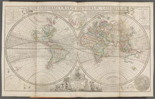
A map of the world from the b…
South America from the latest…
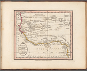
Nigritia and Guinea; with the…
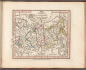
Siberia or Russian Tartary or…
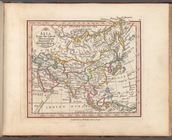
Asia from the latest observat…
m
Rand, McNally & Co.'s Minneso…
Rand, McNally & Co.'s Illinoi…
Rand, McNally & Co.'s New Jer…
Map of the boundary lines bet…
Map showing the New York and …
The northern route from Bosto…
Map showing route of marches …
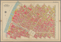
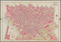
Bounded by 58th Street, West …
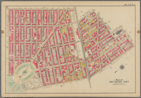
Bounded by Metropolitan Ave.,…
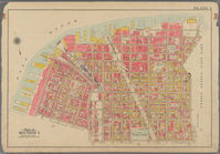
Bounded by S. 11th Street, Be…
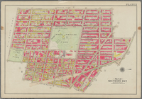
Bounded by Fifth Avenue, Atla…
Bounded by Clermont Avenue, G…
Bounded by Plymouth Street, W…
m
To the honourable House of Re…
This plan of the city of Phil…
1
2
3
4
5
Previous
Next
1
2
3
4
5
Previous
Next