Click to visit the main New York Public Library Homepage
The New York Public Library
Digital Collections
About Digital Collections
Browse
Search only public domain materials
Items
Collections
Divisions
Home
Search
Browse
About
Search only public domain materials
Items
Collections
Divisions
Digital Collections
Using Images
Using Data
Search
Filtered search
Show filters
Hide filters
Show Only Public Domain
topic
Nautical charts
3
Description and travel
2
name
Jacobsz, Anthoni 1594-1624
2
Jefferys, Thomas, -1771
2
Lotter, Georg Friedrich
2
Lotter, Matthäus Albrecht, 1741-1810
2
Bennet, Thomas, -1706
1
More
Less
collection
Atlases, gazetteers, guidebooks and other books
3
Lawrence H. Slaughter Collection of English maps, charts, globes, books and atlases
3
Maps of North America
2
place
x
West Indies
North America
4
Atlantic Coast (North America)
2
Caribbean Area
2
Mexico, Gulf of
2
More
Less
genre
Maps
7
Portolan charts
2
Frontispieces
1
Illustrations
1
Prints
1
publisher
... Mathew Albert and George Frederick Lotter
2
R. Sayer and J. Bennett
2
M. Carey
1
T. Bennet [etc.]
1
publisher not identified
1
division
x
Map Division
type
cartographic
7
still image
1
text
1
Date Range
to
8 results found
Filtering on:
x
Division
: Map Division
x
Language term
: English
x
Place
: West Indies
Sort by:
Title
Date created
Date digitized
Sequence
Americæ septentrionalis pars:…
Americae septentrionalis pars…
A new and correct map of Nort…
A new generall chart for the …
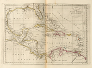
A new and correct map of Nort…
A chart of the West Indies, f…
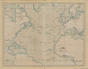
The Atlantic or Western Ocean
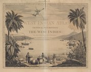
The West-India atlas..., [Fro…