Click to visit the main New York Public Library Homepage
The New York Public Library
Digital Collections
About Digital Collections
Browse
Search only public domain materials
Items
Collections
Divisions
Home
Search
Browse
About
Search only public domain materials
Items
Collections
Divisions
Digital Collections
Using Images
Using Data
Search
Filtered search
Show filters
Hide filters
Show Only Public Domain
topic
Real property
22
Administrative and political divisions
2
Landowners
2
Nautical charts
2
Aerial views
1
More
Less
name
Fairchild Aerial Camera Corporation
33
New York (N.Y.). Bureau of Engineering
33
Tuttle, Arthur S. (Arthur Smith), 1865-1949
33
G.W. Bromley & Co
16
Bromley, George Washington
12
More
Less
collection
Atlases of New York City
128
Maps of New York City and State
9
Lawrence H. Slaughter Collection of English maps, charts, globes, books and atlases
3
Maps of North America
1
place
x
New York (N.Y.)
New York (State)
33
New York
26
Manhattan (New York, N.Y.)
22
Manhattan
4
More
Less
genre
Maps
140
Manuscript maps
1
Title pages
1
publisher
Sanborn Map Company
70
G.W. Bromley & Co
16
E. Robinson Co
9
Baker & Godwin
1
Chéz Le Rouge, rue des grands Augustins
1
More
Less
division
x
Map Division
type
cartographic
140
text
1
Date Range
to
141 results found
Filtering on:
x
Division
: Map Division
x
Note
: A. L. S. "A.M." Endorsed. 1 page. Fo
x
Place
: New York (N.Y.)
Sort by:
Title
Date created
Date digitized
Sequence
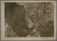
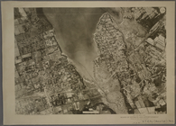
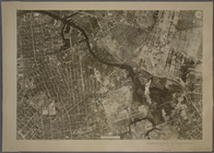
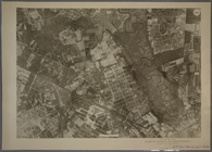
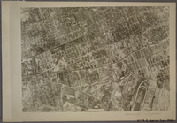
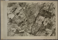
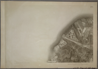
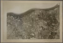
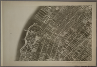
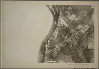
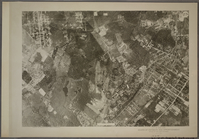
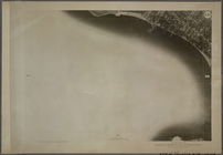
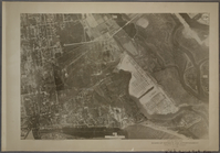
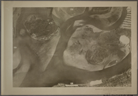
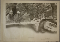
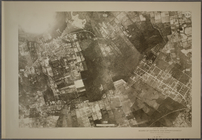
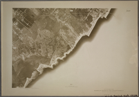
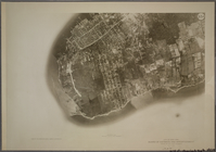
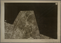
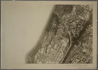
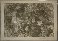
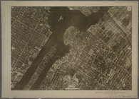
10A - N.Y. City (Aerial Set).
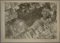
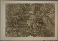
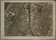
11A - N.Y. City (Aerial Set).
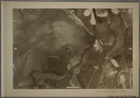
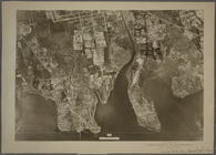
12A - N.Y. City (Aerial Set).
13A - N.Y. City (Aerial Set).
14A - N.Y. City (Aerial Set).
15A - N.Y. City (Aerial Set).
16A - N.Y. City (Aerial Set).
17A - N.Y. City (Aerial Set).
18A - N.Y. City (Aerial Set).
19A - N.Y. City (Aerial Set).
20A - N.Y. City (Aerial Set).
21A - N.Y. City (Aerial Set).
22A - N.Y. City (Aerial Set).
23A - N.Y. City (Aerial Set).
24A - N.Y. City (Aerial Set).
25A - N.Y. City (Aerial Set).
26A - N.Y. City (Aerial Set).
27A - N.Y. City (Aerial Set).
28A - N.Y. City (Aerial Set).
29A - N.Y. City (Aerial Set).
30A - N.Y. City (Aerial Set).
31A - N.Y. City (Aerial Set).
33A - N.Y. City (Aerial Set).
34A - N.Y. City (Aerial Set).
35A - N.Y. City (Aerial Set).
1A - N.Y. City (Aerial Set).
2A - N.Y. City (Aerial Set).
3A - N.Y. City (Aerial Set).
4A - N.Y. City (Aerial Set).
6A - N.Y. City (Aerial Set).
7A - N.Y. City (Aerial Set).
8A - N.Y. City (Aerial Set).
9A - N.Y. City (Aerial Set).
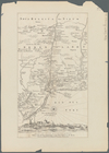
Map of New Netherland with a …
[A chart of New York Island &…
Baye de la Delaware avec les …
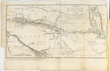
Carte de la route des lacs de…
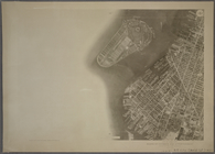
Map of New York and vicinity …
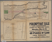
Peremptory sale at auction : …
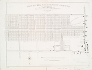
Map of 285 sections of ground…
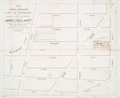
Map of part of the Jackson Ho…
m
Proposed extension of Convent…
Pierhead and bulkhead lines f…
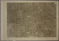
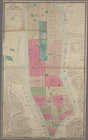
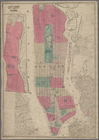
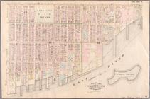
New-York City, County and vic…
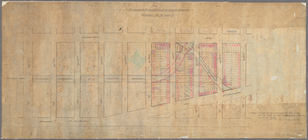
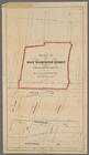
Map (A) of West Washington Ma…
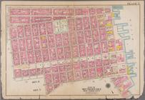
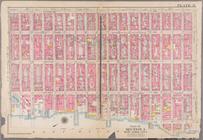
Plate 7: Bounded by E. 3rd St…
Plate 8: Bounded by W. 3rd St…
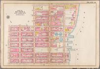
Plate 21: Bounded by Lexingto…
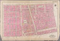
Plate 27: Bounded by E. 64th …
Plate 7: Bounded by Avenue A,…