Click to visit the main New York Public Library Homepage
The New York Public Library
Digital Collections
About Digital Collections
Browse
Search only public domain materials
Items
Collections
Divisions
Home
Search
Browse
About
Search only public domain materials
Items
Collections
Divisions
Digital Collections
Using Images
Using Data
Search
Filtered search
Show filters
Hide filters
Show Only Public Domain
topic
Real property
4578
Fire insurance
3556
Cities & towns
3522
Docks
31
Landowners
24
More
Less
name
Sanborn Map Company
3534
Ullitz, Hugo
453
E.B. Hyde & Co
363
E. Belcher Hyde Map Company
317
G.W. Bromley & Co
252
More
Less
collection
Atlases of New York City
4513
Atlases of the United States
231
Maps of New York City and State
44
Collection of broadside real estate maps announcing auctions of lots in early 19th century New York City
14
Lawrence H. Slaughter Collection of English maps, charts, globes, books and atlases
1
More
Less
place
x
New York (State)
New York
1017
Brooklyn (New York, N.Y.)
514
Manhattan (New York, N.Y.)
217
Maps
209
More
Less
genre
Maps
4793
Atlases
231
Cadastral maps
22
Index maps
22
Prints
8
More
Less
publisher
Sanborn Map Company
3522
E. Belcher Hyde
396
G.W. Bromley & Co
238
E. Robinson Co
104
G.M. Hopkins & Co
95
More
Less
division
x
Map Division
type
cartographic
4783
still image
18
text
13
Date Range
to
4,804 results found
Filtering on:
x
Division
: Map Division
x
Note
: A. L. S. Endorsed: "... receivd 21st July 1796 ..."
x
Place
: New York (State)
Sort by:
Title
Date created
Date digitized
Sequence
Park between 35th and 36th St…
Map of the boundary lines bet…
m
Map of lots to be sold at auc…
Executors sale of part of the…
m
Map of property in the 9th wa…
m
Map of part of the real estat…
m
Map of property in the 9th wa…
m
Map of property in the 9th wa…
Valuable property for sale. J…
Valuable property to be sold …
Executors sale of valuable re…
m
Map & plan of the contemplate…
Map & plan of the contemplate…
Map of property in the 1st wa…
Map of valuable property in t…
Map of property in the 1st wa…
Atherton, St. Lawrence County…
Portions of 1st, 2nd, and 3rd…
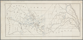
Map of the County of St. Lawr…
Parts of 1st ward of the city…
Sketch of West Pier, Oswego H…
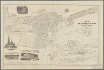
Map of Westminster Park of th…
Map shewing the location of t…
Sketch showing the primary tr…
Map of Hamilton, St. Lawrence…
Map of Hamilton, St. Lawrence…
m
New map of St. Lawrence Count…
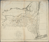
The state of New York, compil…
Map of New York City between …
m
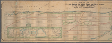
Map of the upper part of the …
Block bounded by 2nd Ave., 99…
Guide map to 92 acres of land…
Map of the real estate in the…
Map of the village of Flushin…
Executors sale of property be…
To be sold by James Bleecker …
Map of property situated in t…
The state of New York, compil…
m
Map of the city of New-York e…
Mulberry Bend District. Map b…
Property nos. 43, 45, and 47 …
Plan of High Bridge Park : pr…
Real estate map of property b…
Blackwell's, Ward's and Randa…
m
New map of that part of the c…
m
Map of New York City south of…
Bronx plat map, Alexander to …
Map of that part of the City …
Map of New Brighton, Staten I…
Pierhead and bulkhead lines f…
1
2
3
4
5
6
7
8
9
10
…
19
20
Previous
Next
1
2
3
4
5
6
7
8
9
10
…
19
20
Previous
Next