Click to visit the main New York Public Library Homepage
The New York Public Library
Digital Collections
About Digital Collections
Browse
Search only public domain materials
Items
Collections
Divisions
Home
Search
Browse
About
Search only public domain materials
Items
Collections
Divisions
Digital Collections
Using Images
Using Data
Search
Filtered search
Show filters
Hide filters
Show Only Public Domain
topic
Real property
106
Railroads
13
Landowners
10
Ferries
8
Railroads, Elevated
8
More
Less
name
Ullitz, Hugo
42
E.B. Hyde & Co
38
E. Belcher Hyde Map Company
33
G.W. Bromley & Co
21
G.M. Hopkins & Co
16
More
Less
collection
Atlases of New York City
99
Maps of New York City and State
49
Collection of broadside real estate maps announcing auctions of lots in early 19th century New York City
5
Lawrence H. Slaughter Collection of English maps, charts, globes, books and atlases
1
Maps of North America
1
place
x
New York
New York (State)
154
Brooklyn (New York, N.Y.)
83
Manhattan (New York, N.Y.)
33
New York (N.Y.)
30
More
Less
genre
Maps
136
Title pages
19
Cadastral maps
7
Manuscript maps
5
Indexes
3
More
Less
publisher
E. Belcher Hyde
36
G.M. Hopkins & Co
16
G.W. Bromley & Co
15
E. Robinson Co
7
E.B. Hyde & Co
6
More
Less
division
x
Map Division
type
cartographic
136
text
23
still image
1
Date Range
to
155 results found
Filtering on:
x
Division
: Map Division
x
Note
: Inscribed "to S. Watson from Johns Fergusson."
x
Place
: New York
Sort by:
Title
Date created
Date digitized
Sequence
m
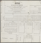
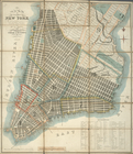
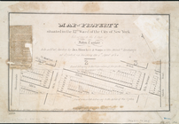
Map of property belonging to …
m
The John Wanamaker automobile…
m
Rand, McNally & Co.'s complet…
Brooklyn, from Rand McNally m…
Rand, McNally & Co.'s new han…
Rand McNally & Co.'s new hand…
Map showing the present dista…
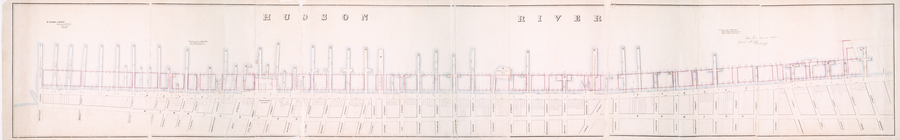
Map of the Harlem River and S…
m
Rand McNally & Co.'s road map…
m
Watson's new map of New York …
m
Watson's new map of New York …
Map of portion of greater New…
m
Watson's new map of New York,…
The northwesterly part of the…
Southern part of the borough …
m
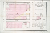
Map of 45 lots of ground leas…
m
Map of a water grant between …
Executors sale of valuable re…
m
Map & plan of the contemplate…
Map & plan of the contemplate…
Plate I. Map of the watershed…
La Pensilvania, la Nuova York…
Map showing the old farms : f…
Plan[s] of Majr. Douglas's re…
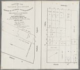
Plan of the city of New-York …
Map of wharves and piers on N…
m
Map of the city of Brooklyn, …
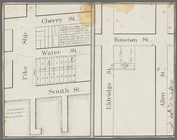
Map of property situated in t…
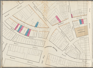
Map of 150 lots of ground sit…
Plan of the city of New-York …
m
Map of the original grants of…
Rand, McNally & Co.'s map of …
Proposed Harlem River Drive f…
m
Plan of the Harlem River Driv…
Rand McNally & Co.'s guide ma…
m
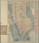
Map of New York City from Bat…
m
Map showing the high and low …
Map showing the original high…
m
Beers' new map of Staten Isla…
Blackwell's, Ward's and Randa…
m
New map of that part of the c…
m
Citizens & traverlers guide m…
Rand, McNally & Co.'s new han…
m
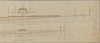
Profile of Riverside Drive fr…
Map of John W. Decker's house…
m
Map of the Harlem River and S…
m
Watson's new map of the city …
Map of property belonging to …
Watson's new map of Brooklyn …
Rand McNally & Co.'s new hand…