Click to visit the main New York Public Library Homepage
The New York Public Library
Digital Collections
About Digital Collections
Browse
Search only public domain materials
Items
Collections
Divisions
Home
Search
Browse
About
Search only public domain materials
Items
Collections
Divisions
Digital Collections
Using Images
Using Data
Search
Filtered search
Show filters
Hide filters
Show Only Public Domain
topic
Roads
4
Railroads
3
Real property
3
Administrative and political divisions
2
Landowners
2
More
Less
name
Rand McNally and Company
3
Beers, F. W. (Frederick W.)
2
Camp, H
2
Friend, Norman M., approximately 1815-
2
Prindle, A. B
2
More
Less
collection
Maps of New York City and State
13
Atlases of New York City
2
place
x
New York Metropolitan Area
New York (State)
7
New Jersey
4
New York
4
Westchester County (N.Y.)
2
More
Less
genre
Maps
13
Illustrations
2
publisher
The Company
3
F. W. Beers, A. D. Ellis & others
2
J.C Sidney
2
A.G. Hagstrom Co
1
E. & G.W. Blunt,
1
More
Less
division
x
Map Division
type
cartographic
13
still image
2
Date Range
to
15 results found
Filtering on:
x
Division
: Map Division
x
Note
: Inscribed "to S. Watson from Johns Fergusson."
x
Place
: New York Metropolitan Area
Sort by:
Title
Date created
Date digitized
Sequence
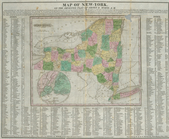
Rand, McNally & Co.'s new aut…
m
The John Wanamaker automobile…
m
Rand, McNally & Co.'s complet…
Wall St. New York City, U.S.A…
Hagstrom's map of 50 mile rad…
Map showing the present dista…
m
Rand McNally & Co.'s road map…
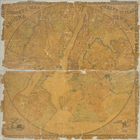
Map of New-York : on the impr…
New York Harbor and entrance …
m
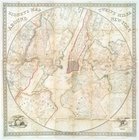
Sidney's map of twelve miles …
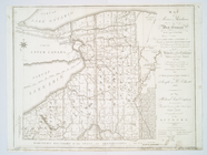
Map of Morris's Purchase or W…
Sidney's map of twelve miles …
m
Watson's guide map to summer …
Plate 73: Residence of A.S. D…
Property of F.A. Halstead, Be…
End of results
|
Top