Click to visit the main New York Public Library Homepage
The New York Public Library
Digital Collections
About Digital Collections
Browse
Search only public domain materials
Items
Collections
Divisions
Home
Search
Browse
About
Search only public domain materials
Items
Collections
Divisions
Digital Collections
Using Images
Using Data
Search
Filtered search
Show filters
Hide filters
Show Only Public Domain
topic
Road maps
53
Railroads
18
Roads
18
History
15
Guidebooks
13
More
Less
name
Colles, Christopher, 1738-1816
53
Tiebout, Cornelius, 1777-1832
53
Carey, Mathew, 1760-1839
14
Jones, T. W
13
Moore, S. S
13
More
Less
collection
Lawrence H. Slaughter Collection of English maps, charts, globes, books and atlases
79
Maps of North America
54
Collection of broadside real estate maps announcing auctions of lots in early 19th century New York City
5
Atlases of the United States
1
Maps of New York City and State
1
place
x
United States
Middle Atlantic States
68
Middle Atlantic States Guidebooks
13
Philadelphia
13
Philadelphia (Pa.)
13
More
Less
genre
Maps
140
Cadastral maps
5
Nautical charts
3
Strip maps
3
Charts
1
More
Less
publisher
M. Carey
13
Printed for J. Stockdale
9
M. Carey,
4
s.n
4
Rand, McNally & Co
3
More
Less
division
x
Map Division
type
cartographic
139
still image
2
text
2
Date Range
to
140 results found
Filtering on:
x
Division
: Map Division
x
Note
: Inscribed "to S. Watson from Johns Fergusson."
x
Place
: United States
Sort by:
Title
Date created
Date digitized
Sequence
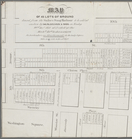
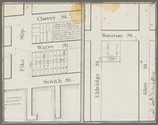
Map of the boundary lines bet…
m
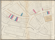
Map of 45 lots of ground leas…
m
Map of a water grant between …
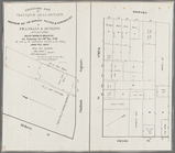
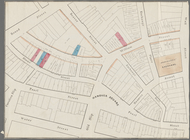
Executors sale of valuable re…
m
Map & plan of the contemplate…
Map & plan of the contemplate…
Map of the White Mountains of…
Barometric profile of the rou…
Chart of the Columbia River f…
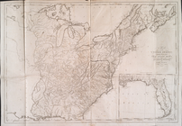
Map of the U.S.
Map of part of Virginia, Mary…
Map of Virginia showing the d…
Pictorial map of the seat of …
m
Map of part of Virginia, Mary…
Plan of the siege of Charlest…
Rand McNally & Co.'s new offi…
Rand McNally & Co.'s new offi…
m
Rand, McNally and Co.'s gener…
m
Survey of the Allegheny River…
Map of the all-water route fr…
Map showing route of marches …
m
A chart of the harbour of Rho…
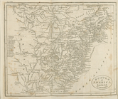
Map of the Southern States, i…
m
National map of the territory…
m
H.H. Lloyd & Co.'s new Union …
m
Watson's new county and railr…
m
National map of the territory…
Rand, McNally & Co.'s new com…
m
Outline map showing a new rou…
Sketch A, shewing the progres…
Map of the country embracing …
Part of the boundary between …
Part of the boundary between …
Part of the boundary between …
m
D.B. Cooke & Co.'s great west…
Approximate cotidal lines of …
m
Lloyd's new county map of the…
The United States from the la…
Extract from a map of the Bri…
Map exhibiting the approaches…
States of America, from the b…
North America from the French…
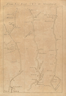
Road from Philadelphia to Was…
Road from Philadela. to New Y…
A map of the United States : …
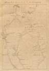
From New York (1) to Stratfor…
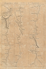
From New York (2) to Stratfor…
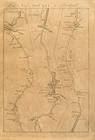
From New York (3) to Stratfor…
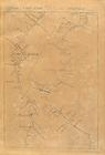
From New York (4) to Stratfor…
From New York (5) to Stratfor…