Click to visit the main New York Public Library Homepage
The New York Public Library
Digital Collections
About Digital Collections
Browse
Search only public domain materials
Items
Collections
Divisions
Home
Search
Browse
About
Search only public domain materials
Items
Collections
Divisions
Digital Collections
Using Images
Using Data
Search
Filtered search
Show filters
Hide filters
Show Only Public Domain
topic
Nautical charts
2
Beavers
1
Discovery and exploration
1
Maps
1
name
Thornton, Samuel
4
W. & J. Mount & T. Page
2
Bowles, John, 1701-1779
1
Bowles, Thomas, 1694-1773
1
Bowles, Thomas, 1694-1773
1
More
Less
collection
Atlases, gazetteers, guidebooks and other books
4
Maps of North America
4
Lawrence H. Slaughter Collection of English maps, charts, globes, books and atlases
2
place
x
Newfoundland and Labrador
New England
6
Nova Scotia
4
Canada
3
Maryland
3
More
Less
genre
Maps
10
Nautical charts
4
publisher
... Sold ... by Tho. Bowles, print and map-seller in St. Paul's-Churchyard
1
Laurie & Whittle
1
Printed for Robt. Sayer & Jno. Bennett, map & sea chartsellers, No. 53, Fleet Street ..
1
Sold by W & J Mount & T. Page on Tower Hill
1
Sold by Willm. Mount & Tho. Page at the Postern on Great Tower Hill
1
division
x
Map Division
type
cartographic
10
Date Range
to
10 results found
Filtering on:
x
Division
: Map Division
x
Place term
: London
x
Place
: Newfoundland and Labrador
Sort by:
Title
Date created
Date digitized
Sequence
Part of North America, contai…
m
A map of Cabotia: comprehendi…
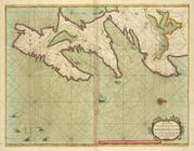
A chart of the sea coast of N…
m
A new and exact map of the do…
A chart of the sea coast of N…
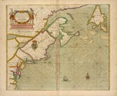
A general map of the northern…
A new chart of the sea coast …
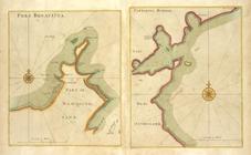
PORT BONAVISTA part of New-fo…
A new chart of the trading pa…
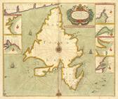
A chart od Iland of NEW FOUND…