Click to visit the main New York Public Library Homepage
The New York Public Library
Digital Collections
About Digital Collections
Browse
Search only public domain materials
Items
Collections
Divisions
Home
Search
Browse
About
Search only public domain materials
Items
Collections
Divisions
Digital Collections
Using Images
Using Data
Search
Filtered search
Show filters
Hide filters
Show Only Public Domain
topic
African languages
1
Coasts
1
Ethnology
1
Journeys
1
Names, Ethnological
1
More
Less
name
Child, G
3
Barbot, Jean, 1655-1712
2
Labat, Jean Baptiste, 1663-1738
2
Baarsel, C. van (Cornelius)
1
Bell, A. (Andrew), 1728-1779
1
More
Less
collection
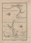
A map of the Kingdom of Whidah
1
A map or chart of the West Coast of Africa, from Tanit to the mouth of the River Sanaga
1
A particular map of the River Sanaga, from its desart to the Isle of Morfil or Ivory, including the Lake of Pania Fuli
1
A particular map of the River Sanaga, from its mouth to the desart, exhibiting its several branches, and the islands formed by them within that space
1
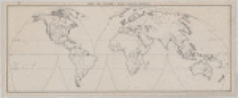
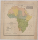
An outline map of the linguistic families of Africa
1
More
Less
place
Maps
5
Early works to 1800
4
Africa, West
2
River Sanaga (Cameroon)
2
Africa
1
More
Less
genre
Maps
14
publisher
s.n
13
s. n
1
division
x
Schomburg Jean Blackwell Hutson Research and Reference Division
type
cartographic
14
text
1
Date Range
to
14 results found
Filtering on:
x
Division
: Schomburg Jean Blackwell Hutson Research and Reference Division
x
Place term
: S.l
Sort by:
Title
Date created
Date digitized
Sequence
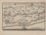
Plan de la côte de l'est de M…
Carte du Golfe de Benin et pa…
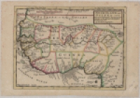
Kaart van de Goud-Kust of Kus…
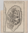
Plan de l'isle et ville de Qu…
Voyage du Captaine Dampier a …
m
Map of tribal and place-names
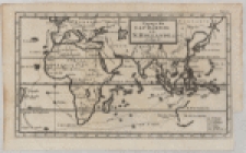
Map of the Old Continent exhi…
A map or chart of the West Co…
An outline map of the linguis…
A map of the Kingdom of Whidah
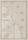
Map of the mouth of the River…
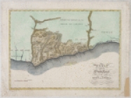
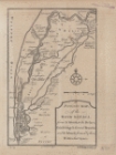
Map of part of the windward c…
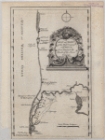
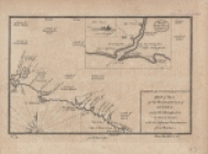
A particular map of the River…
A particular map of the River…
End of results
|
Top