Click to visit the main New York Public Library Homepage
The New York Public Library
Digital Collections
About Digital Collections
Browse
Search only public domain materials
Items
Collections
Divisions
Home
Search
Browse
About
Search only public domain materials
Items
Collections
Divisions
Digital Collections
Using Images
Using Data
Search
Filtered search
Show filters
Hide filters
Show Only Public Domain
topic
Nautical charts
13
Coasts
4
Rivers
4
Harbors
3
Bays
1
More
Less
name
Bache, A. D. (Alexander Dallas), 1806-1867
11
United States Coast Survey
11
Thornton, Samuel
9
Wise, George D. (George Douglas), 1831-1898
4
Evans, A. W., Lieutenant
3
More
Less
collection
Maps of North America
12
Atlases, gazetteers, guidebooks and other books
9
Maps of New York City and State
1
place
Florida
8
Mexico, Gulf of
2
Saint George Sound (Fla.)
2
Saint Johns River
2
Saint Johns River (Fla.)
2
More
Less
genre
x
Nautical charts
Maps
22
Bathymetric maps
8
publisher
U.S. Coast Survey
10
E. & G.W. Blunt
1
Government Printing Office
1
U.S. Coast Survey Office
1
division
x
Map Division
type
cartographic
22
Date Range
to
22 results found
Filtering on:
x
Division
: Map Division
x
Genre
: Nautical charts
x
Note
: A. L. S. Endorsed: "... receivd 21st July 1796 ..."
Sort by:
Title
Date created
Date digitized
Sequence
St. Helena Sound, South Carol…
St. Louis Bay and Shieldsboro…
Preliminary chart of St. John…
Preliminary chart of St. Mark…
Preliminary chart of St. John…
Preliminary chart of St. Andr…
Eastern part of St. George's …
Preliminary chart of western …
St. Mary's River and Fernandi…
Reconnaissance of the bar and…
Reconnoissance [sic] of St. A…
Sketch of West Pier, Oswego H…
The coast of the United State…
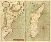
A new draught of the Island o…
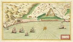
A prospect of James Fort on t…
A chart of coasts of GABON, L…
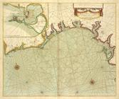
A chart of the GOLD COAST in …
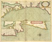
A chart of the Grain Ivory an…
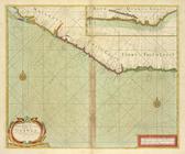
A chart of coast of BARBARY f…
A sea chart of part of the co…
A chart of the sea coasts of …
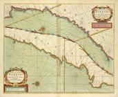
A new mapp of the Island of S…
End of results
|
Top