Click to visit the main New York Public Library Homepage
The New York Public Library
Digital Collections
About Digital Collections
Browse
Search only public domain materials
Items
Collections
Divisions
Home
Search
Browse
About
Search only public domain materials
Items
Collections
Divisions
Digital Collections
Using Images
Using Data
Search
Filtered search
Show filters
Hide filters
Show Only Public Domain
topic
Nautical charts
5
Indians of North America
2
Geography
1
name
Fisher, Joshua, 1707-1783
5
Stockdale, John, 1749?-1814
3
Baldwin, R. (Robert), 1737-1810
2
Dury, Andrew
2
Evans, Lewis, 1700?-1756
2
More
Less
collection
Lawrence H. Slaughter Collection of English maps, charts, globes, books and atlases
8
Maps of North America
7
Cartographic materials from the Emmet collection of manuscripts etc. relating to American history
2
place
x
Delaware
New Jersey
11
Maryland
10
Delaware Bay (Del. and N.J.)
6
Virginia
6
More
Less
genre
Maps
17
publisher
J. Hinton
2
Published ... by Andrew Dury, Duke's Court, St. Martins Lane
2
John Stockdale
1
Printed for J. Stockdale
1
Printed for R. Sayer & J. Bennett, map, chart & printsellers, No. 53, Fleet Street ..
1
More
Less
division
x
Map Division
type
cartographic
17
Date Range
to
17 results found
Filtering on:
x
Division
: Map Division
x
Place term
: London
x
Place
: Delaware
Sort by:
Title
Date created
Date digitized
Sequence
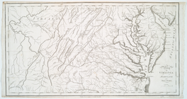
Map of Virginia, Maryland and…
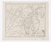
A map of the country between …
Bowles's new pocket map of th…
Map of Virginia, Maryland and…
A chart of Delaware Bay and R…
A chart of Delaware Bay and R…
A chart of Delaware Bay and R…
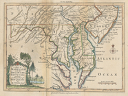
A map of Maryland with the De…
A chart of Delaware Bay and R…
A general map of the middle B…
A chart of Delaware Bay and R…
A general map of the middle B…
A map of that part of America…
A New map of the province of …
A map of Maryland with the De…
A new map of the province of …
A chart of Delaware Bay and R…
End of results
|
Top