Click to visit the main New York Public Library Homepage
The New York Public Library
Digital Collections
About Digital Collections
Browse
Search only public domain materials
Items
Collections
Divisions
Home
Search
Browse
About
Search only public domain materials
Items
Collections
Divisions
Digital Collections
Using Images
Using Data
Search
Filtered search
Show filters
Hide filters
Show Only Public Domain
topic
Real property
4668
Fire insurance
3611
Cities & towns
3522
City planning
39
Landowners
33
More
Less
name
Sanborn Map Company
3536
Ullitz, Hugo
453
G.W. Bromley & Co
421
E.B. Hyde & Co
376
E. Belcher Hyde Map Company
317
More
Less
collection
Atlases of New York City
5052
Atlases of the United States
753
Maps of New York City and State
95
Maps of North America
70
Collection of broadside real estate maps announcing auctions of lots in early 19th century New York City
14
More
Less
place
New York (State)
4795
New York
1016
Brooklyn (New York, N.Y.)
534
New York (N.Y.)
416
Manhattan (New York, N.Y.)
241
More
Less
genre
x
Maps
Atlases
753
Cadastral maps
62
Plans
43
Surveying
35
More
Less
publisher
Sanborn Map Company
3583
E. Belcher Hyde
494
G.W. Bromley & Co
400
E. Robinson Co
184
A.H. Mueller
108
More
Less
division
Map Division
6003
Milstein Division
22
General Research Division
12
Manuscripts and Archives Division
8
Rare Book Division
4
More
Less
type
cartographic
6034
still image
29
text
15
Date Range
to
6,060 results found
Filtering on:
x
Genre
: Maps
x
Note
: A. L. S. Endorsed: "... receivd 21st July 1796 ..."
Sort by:
Title
Date created
Date digitized
Sequence
Isle de Madagascar dite de St…
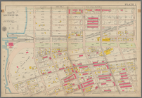
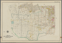
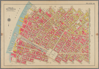
Park between 35th and 36th St…
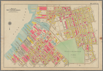
Wall St. New York City, U.S.A…
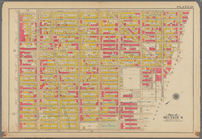
Map of New York City, south o…
m
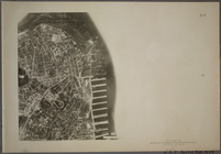
Map 21 - Richmond
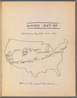
Hitch-hiking trip July - Oct.…
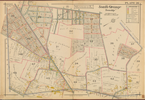
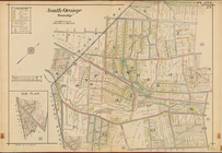
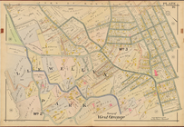
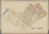
South Orange Township, Double…
South Orange Township, Double…
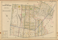
Village of South Orange, Doub…
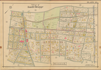
Village of South Orange, Doub…
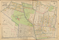
Village of South Orange, Doub…
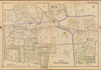
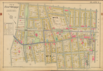
Town of West Orange, Double P…
Town of West Orange, Double P…
West Orange, Orange, Double P…
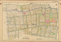
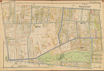
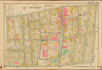
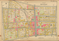
City of Orange, Double Page P…
City of Orange, Double Page P…
City of Orange, Double Page P…
City of Orange, Double Page P…
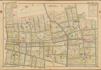
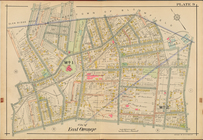
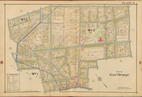
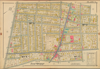
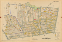
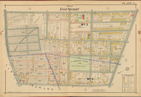
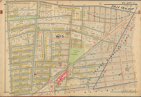
City of East Orange, Double P…
City of East Orange, Double P…
City of East Orange, Double P…
City of East Orange, Double P…
City of East Orange, Double P…
City of East Orange, Double P…
City of East Orange, Double P…
St. Johann im Pongau
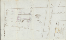
Survey of St. Mary's Church L…
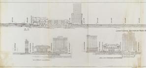
Express level - 1st half
Sections and Elevations - 1st…
Street Level - 1st half
Suburban Level - 1st half.
St. Jean D'Acre
Map of the boundary lines bet…
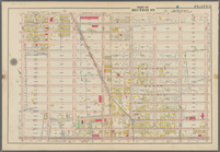
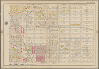
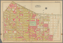
Bounded by Avenue J., E. 56th…
Bounded by Avenue P., E. 31st…
Bounded by 72nd Street, 22nd …
Bounded by 58th Street, West …
Bounded by 85th Street, 1st A…
Bounded by 72nd Street, 21st …
Bounded by 58th Street, 21st …
Bounded by Mackay Pl., 1st Av…
Bounded by 60th St., Seventh …
Bounded by Stanley Ave., Mill…
Bounded by Linwood St., Cozin…
Bounded by Harman Street, St.…
Bounded by Flushing Avenue, P…
Bounded by Noble St., Manhatt…
Bounded by Metropolitan Ave.,…
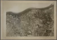
21A - N.Y. City (Aerial Set).
21B - N.Y. City (Aerial Set).
1
2
3
4
5
6
7
8
9
10
…
24
25
Previous
Next
1
2
3
4
5
6
7
8
9
10
…
24
25
Previous
Next