Click to visit the main New York Public Library Homepage
The New York Public Library
Digital Collections
About Digital Collections
Browse
Search only public domain materials
Items
Collections
Divisions
Home
Search
Browse
About
Search only public domain materials
Items
Collections
Divisions
Digital Collections
Using Images
Using Data
Search
Filtered search
Show filters
Hide filters
Show Only Public Domain
topic
Real property
49
History
14
Post roads
14
Administrative and political divisions
13
Landowners
12
More
Less
name
Bridges
14
Goodrich, A. T. (Andrew Thompson), 1789-1845
14
Rollinson, William, 1762-1842
14
Everts, Ensign & Everts
10
Ullitz, Hugo
6
More
Less
collection
Maps of New York City and State
80
Atlases of the United States
37
Atlases of New York City
17
Collection of broadside real estate maps announcing auctions of lots in early 19th century New York City
3
Lawrence H. Slaughter Collection of English maps, charts, globes, books and atlases
2
More
Less
place
x
New York (State)
New York (N.Y.)
55
New York
43
Manhattan (New York, N.Y.)
28
New Jersey
17
More
Less
genre
x
Maps
Atlases
37
Manuscript maps
6
Cadastral maps
5
Indexes
2
More
Less
publisher
Published by A.T. Goodrich, 124 Broad Way
14
G.W. Bromley & Co
5
F. W. Beers & Co
4
Sanborn Map Company
4
E. Belcher Hyde
3
More
Less
division
Map Division
141
Wallach Division: Print Collection
2
Rare Book Division
1
type
cartographic
139
text
5
still image
3
Date Range
to
144 results found
Filtering on:
x
Genre
: Maps
x
Note
: A. L. S. Endorsed: "Letter from Col. Atlee Augt. 1776." 1 page. 8o
x
Place
: New York (State)
Sort by:
Title
Date created
Date digitized
Sequence
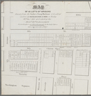
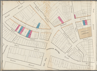
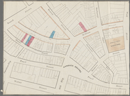
Brooklyn, from Rand McNally m…
Hagstrom's map of 50 mile rad…
Map showing the present dista…
Map of the Harlem River and S…
The northwesterly part of the…
Southern part of the borough …
Map of the American Coast, fr…
Map of the boundary lines bet…
Map showing the New York and …
m
Map of 45 lots of ground leas…
m
Map & plan of the contemplate…
Map & plan of the contemplate…
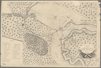
Plan von den Operationen der …
A sketch of the siege of Fort…
A sketch of the operations of…
Map of New York City and of M…
Plan of the Battle of Long Is…
A plan of New York Island, pa…
Position of the American Army…
Erie Canal enlargement, middl…
Plate I. Map of the watershed…
Northern coast of Long Island…
Map showing the rail roads wi…
Ticonderoga and its dependenc…
Topographical map made from s…
Operations after the evacuati…
Map of the province of New Yo…
m
Map of Cayuga and Seneca Coun…
The Hudson by daylight map fr…
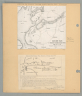
Map of Byram River from its m…
The engagement on the White P…
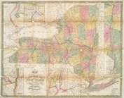
The state of New York, compil…
m
Map of the upper part of the …
Map of New York City from 50t…
Map of West Street from Batte…
Paving map [Reade Street from…
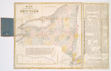
Map of the state of New York …
A geological section of the c…
Map showing the old farms : f…
Map of the state of New York …
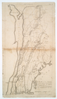
A plan of the country from Fr…
Map of the village of Hermann…
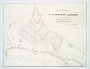
Village of Livingston's Landi…
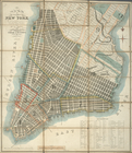
Plan of the city of New-York …
Map and plan to illustrate th…
The tourist's map of the stat…
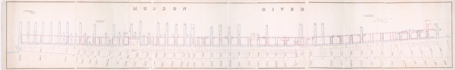
Map of wharves and piers on N…
m
Map of the city of Brooklyn, …
Map of the state of New York …
Survey of the several routes …