Click to visit the main New York Public Library Homepage
The New York Public Library
Digital Collections
About Digital Collections
Browse
Search only public domain materials
Items
Collections
Divisions
Home
Search
Browse
About
Search only public domain materials
Items
Collections
Divisions
Digital Collections
Using Images
Using Data
Search
Filtered search
Show filters
Hide filters
Show Only Public Domain
topic
Real property
34
Maps
23
City planning
12
Social conditions
11
Local transit
10
More
Less
name
G.W. Bromley & Co
36
New York (N.Y.). City Planning Commission
12
M.I.T. Press
11
Bromley, George Washington
8
Bromley, Walter Scott
8
More
Less
collection
Atlases of New York City
75
Maps of New York City and State
20
Atlases of the United States
2
Lawrence H. Slaughter Collection of English maps, charts, globes, books and atlases
1
place
x
New York (N.Y.)
New York (State)
63
New York
30
Bronx (New York, N.Y.)
28
Manhattan (New York, N.Y.)
23
More
Less
genre
x
Maps
Cadastral maps
5
Atlases
2
Engineering drawings
1
Index maps
1
More
Less
publisher
G.W. Bromley & Co
34
MIT Press
11
E. Robinson Co
8
Sanborn Map Company
4
M.B. Brown Printing & Binding Co.,
3
More
Less
division
Map Division
98
type
cartographic
87
still image
11
text
1
Date Range
to
98 results found
Filtering on:
x
Genre
: Maps
x
Note
: Manuscript notation "U.S. Light House Rept. 1898" in lead and printed numeral "13" on verso.
x
Place
: New York (N.Y.)
Sort by:
Title
Date created
Date digitized
Sequence
m
Hagstrom's map of upper New Y…
Map of portion of greater New…
Hagstrom's map of ... New Yor…
m
Map 13 - Brooklyn and Queens
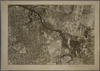
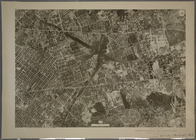
13A - N.Y. City (Aerial Set).
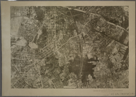
13B - N.Y. City (Aerial Set).
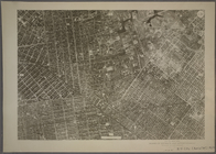
13C - N.Y. City (Aerial Set).
13D - N.Y. City (Aerial Set).
Map of 163 sections or villa …
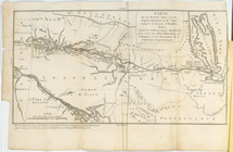
Carte de la route des lacs de…
m
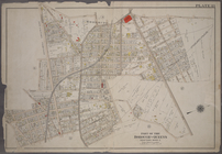
Map[s] to accompany report "T…
Map showing the relative posi…
m
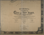
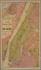
General map of the city of Ne…
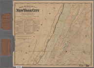
Rand, McNally & Co.'s map of …
Rand McNally & Co.'s guide ma…
m
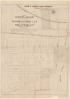
The United Electric Light and…
m
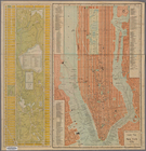
Map of the City of New York n…
Rand, McNally & Co.'s new han…
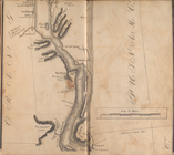
Sketch showing the ground und…
m
Rand, McNally & Co.'s map of …
Map of New York City showing …
m
Rand, McNally & Co.'s map of …
Pierhead and bulkhead lines f…
m
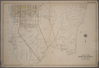
The Tenement-House Committee …
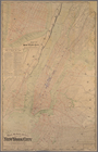
Plan showing course of stream…
Maps shewing the residence of…
Map of the Hudson ... from Pe…
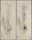
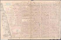
Double Page Plate No. 13, Par…
Double Page Plate No. 13, Par…
Double Page Plate No. 13, Par…
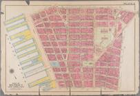
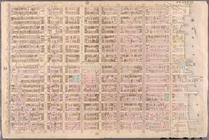
Plate 2: Bounded by Jay Stree…
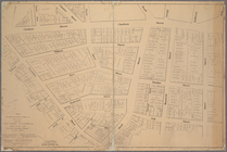
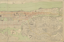
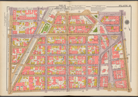
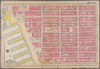
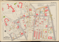
Plate 13: Bounded by W. 25th …
Plate 49: Bounded by Harlem R…
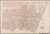
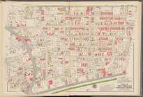
Plate 10: Bounded by West Str…
Plate 11: Bounded by W. 27th …
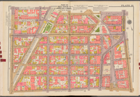
Plate 13: Bounded by W. 40th …
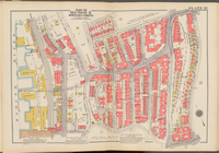
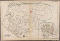
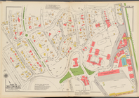
Plate 13: Bounded by Astoria …
Plate 22: Bounded by Fifth Av…
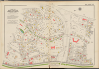
Plate 13: [Bounded by Depot P…
Plate 13, Part of Section 3: …
Plate 13, Part of Sections 4&…
Plate 13, Part of Ward 4: [Ma…
Double Page Plate No. 34, Par…
Double Page Plate No. 35, Par…
Double Page Plate No. 36, Par…
Double Page Plate No. 37, Par…
Double Page Plate No. 38, Par…
Double Page Plate No. 39, Par…
Double Page Plate No. 40, Par…
Double Page Plate No. 41, Par…