Click to visit the main New York Public Library Homepage
The New York Public Library
Digital Collections
About Digital Collections
Browse
Search only public domain materials
Items
Collections
Divisions
Home
Search
Browse
About
Search only public domain materials
Items
Collections
Divisions
Digital Collections
Using Images
Using Data
Search
Filtered search
Show filters
Hide filters
Show Only Public Domain
topic
Real property
482
Business enterprises
98
History
52
Houses
31
Geology
21
More
Less
name
Beers, F. W. (Frederick W.)
158
Everts, Ensign & Everts
151
J.B. Beers & Co
65
F.W. Beers & Co
63
Asher & Adams
43
More
Less
collection
Atlases of the United States
877
Atlases of New York City
1
place
New York (State)
600
Genesee County (N.Y.)
88
Westchester County (N.Y.)
71
New Jersey
69
Westchester County
66
More
Less
genre
x
Atlases
Maps
760
Prints
67
Title pages
19
Plans
11
More
Less
publisher
Everts, Ensign & Everts
63
F. W. Beers & Co
60
Andreas, Baskin & Burr
52
Bien, Joseph R
42
G.W. Bromley & Co
27
More
Less
division
Map Division
869
Milstein Division
9
type
cartographic
826
text
53
still image
2
Date Range
to
878 results found
Filtering on:
x
Genre
: Atlases
x
Place
: ('geographic', "Jones's Wood (New York, N.Y.)")
Sort by:
Title
Date created
Date digitized
Sequence
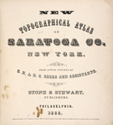
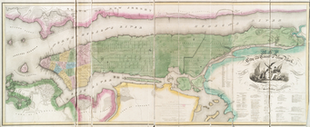
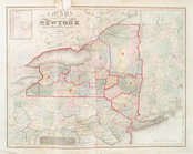
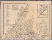
New topographical atlas of Sa…
Residence of James Carrigan, …
Acres of Land, Population, Dw…
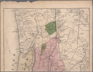
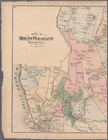
Galway [Township]; Yorks Corn…
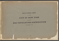
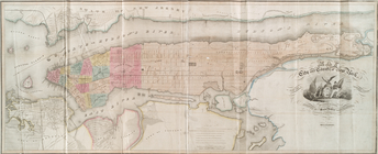
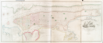
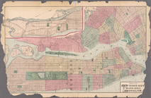
Sectional map of the City of …
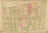
City of Orange, Double Page P…
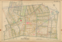
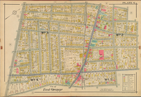
City of East Orange, Double P…
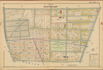
City of East Orange, Double P…
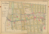
City of East Orange, Double P…
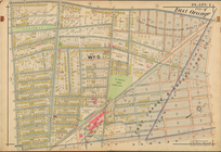
City of East Orange, Double P…
City of East Orange, Double P…
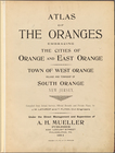
Atlas of the Oranges embracin…
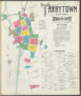
Insurance maps of Tarrytown, …
Insurance maps of Tarrytown, …
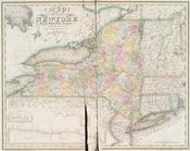
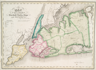
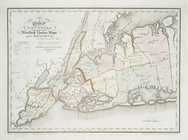
Map of the state of New-York …
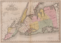
Map of the city and county of…
Map of the counties of New Yo…
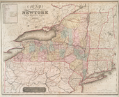
Map of the state of New-York …
Map of the city and county of…
Map of the state of New-York …
Map of the city and county of…
Map of the Hudson ... from Sa…
Map of the Hudson ... from Ne…
Map of the counties of New Yo…
Map of the counties of New Yo…
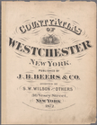
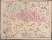
County atlas of Westchester, …
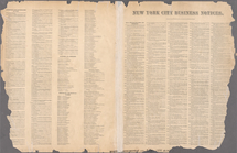
New York City Business Notice…
Plates 11 & 12: Map of New Yo…
m
Plates 14 & 15: Towns of West…
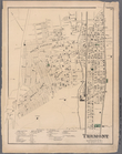
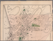
Plate 16: Tremont, Town of We…
m
Plates 17 & 18: Fordham, Town…
m
Plates 19 & 20: West Farms, W…
m
Plates 21 & 22: Town and City…
m
Plates 26 & 27: Portions of 1…
m
Plates 28 & 29: Portions of 2…
m
Plates 30 & 31: Mount Vernon,…
m
Plates 40 & 41: Town of Mount…
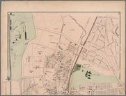
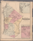
Plate 44: Town of Ossining, W…
m
Plates 45 & 46: Singsing, Tow…
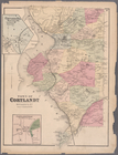
Plate 47: Town of Cortlandt, …
m
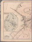
Plates 48 & 49: Plan of Peeks…
Plate 50: Town of Westchester…
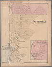
Plate 52: Wakefield, Town & C…
m
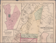
Plates 53 & 54: Town of New R…
m
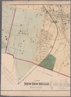
Plate 55 & 56: Part of New Ro…
m
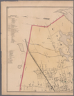
Plates 57 & 58: Part of New R…
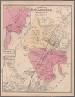
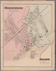
Plate 59: Town of Mamaroneck,…
Plate 60: Mamaroneck, Westche…
m
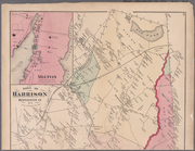
Plates 61 & 62: Town of Harri…
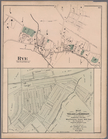
Plate 66: Rye, Town of Westch…
1
2
3
4
Previous
Next
1
2
3
4
Previous
Next