Click to visit the main New York Public Library Homepage
The New York Public Library
Digital Collections
About Digital Collections
Browse
Search only public domain materials
Items
Collections
Divisions
Home
Search
Browse
About
Search only public domain materials
Items
Collections
Divisions
Digital Collections
Using Images
Using Data
Search
Filtered search
Show filters
Hide filters
Show Only Public Domain
topic
Real property
1647
Fire insurance
89
Zoning
37
Real property auctions
35
Exhibitions
20
More
Less
name
G.W. Bromley & Co
967
Ullitz, Hugo
496
E.B. Hyde & Co
495
E. Belcher Hyde Map Company
385
Bromley, George Washington
138
More
Less
collection
Atlases of New York City
1679
Maps of New York City and State
53
New York World's Fair 1939 and 1940 Incorporated records
20
New York City directories
9
William J. Wilgus papers
6
More
Less
place
x
New York
New York (State)
1770
Manhattan (New York, N.Y.)
899
Brooklyn (New York, N.Y.)
502
Maps
306
More
Less
genre
x
Maps
Indexes
55
Index maps
39
Pamphlets
35
Plans
18
More
Less
publisher
G.W. Bromley & Co
925
E. Belcher Hyde
384
E.B. Hyde & Co
111
E. Robinson Co
86
Sanborn Map Co
81
More
Less
division
Map Division
1727
Manuscripts and Archives Division
29
Rare Book Division
10
type
cartographic
1726
text
124
still image
1
Date Range
to
1,771 results found
Filtering on:
x
Genre
: Maps
x
Language term
: English
x
Place
: New York
Sort by:
Title
Date created
Date digitized
Sequence
m
Knickerbocker Village
Block sketch 1679, New York C…
m
Proposed belt lines for the P…
New-York and vicinity as prop…
Block line map of the heavy v…
m
Plans for the improvement of …
Map of property in the 19th w…
Mapa de la ciudad de Nueva Yo…
Proposed Brooklyn Battery Bri…
Brooklyn-Battery Bridge Proje…
Proposed Metropolitan Freight…
Map of Proposed Belt Railways…
Preliminary Study for a Great…
The subway problem: map of in…
Map showing relation of the I…
H4. Map (Scheme B) illustrati…
Map of the port & vicinity of…
m
New York City directory, 1792
m
New York City directory, 1795
m
New York City directory, 1793
m
New York City directory , 179…
m
New York City directory, 1794…
Topographical map of New York…
m
New York City directory, 1791
m
New York City directory, 1790
m
New York City directory, 1789
m
New York City directory, 1796
Plan von New-York, 1851
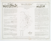
A view of Collect Pond and it…
A view of Collect Pond and it…
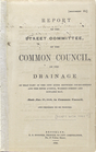
Report of the Street Committe…
m
Staten Island drive and bicyc…
m
What annexation would accompl…
m
Map of the northern portion o…
The New York and Manhattan Be…
m
Map showing the injury to the…
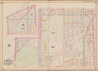
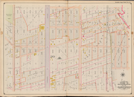
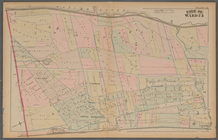
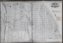
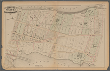
[Bounded by Avenue H, E. 18th…
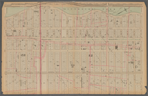
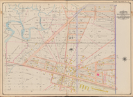
Plate 25: : [Bounded by Twelf…
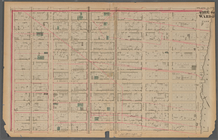
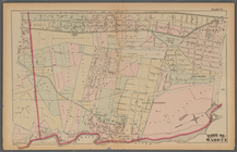
Plate 21: : [Bounded by E. 86…
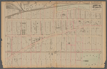
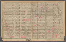
Plate 17:: Bounded by (Hudson…
Bounded by Avenue L, E. 19th …
Bounded by Stillwell Ave., Av…
Plate 37:: [Bounded by New Yo…
Plate 13:: [Bounded by W. 38t…
Plate 38:: [Bounded by (Harle…
Plate 30:: [Bounded by W. 152…
Plate 31:: [Bounded by Hudson…
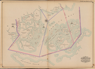
Jamaica Bay and Rockaway Beac…
Bounded by Avenue Q, E. 36th …
Plate 20:: [Bounded by E. 74t…
1
2
3
4
5
6
7
8
Previous
Next
1
2
3
4
5
6
7
8
Previous
Next