Click to visit the main New York Public Library Homepage
The New York Public Library
Digital Collections
About Digital Collections
Browse
Search only public domain materials
Items
Collections
Divisions
Home
Search
Browse
About
Search only public domain materials
Items
Collections
Divisions
Digital Collections
Using Images
Using Data
Search
Filtered search
Show filters
Hide filters
Show Only Public Domain
topic
Real property
4899
Fire insurance
4541
Cities & towns
4401
History
27
Maps
18
More
Less
name
Sanborn Map Company
4481
Ullitz, Hugo
211
G.W. Bromley & Co
186
E.B. Hyde & Co
142
E. Belcher Hyde Map Company
126
More
Less
collection
Atlases of New York City
5113
Atlases of the United States
671
Maps of New York City and State
29
Maps of North America
24
Maps of Asia
22
More
Less
place
New York (State)
4967
New York
402
New York (N.Y.)
204
Brooklyn (New York, N.Y.)
165
Jersey City (N.J.)
164
More
Less
genre
x
Maps
Atlases
670
Prints
20
Illustrations
12
Cadastral maps
10
More
Less
publisher
Sanborn Map Company
4525
E. Belcher Hyde
253
G.W. Bromley & Co
179
A.H. Mueller
97
Century Atlas Co
87
More
Less
division
Map Division
5870
General Research Division
24
Rare Book Division
20
Pforzheimer Collection
8
Manuscripts and Archives Division
7
More
Less
type
cartographic
5927
still image
23
text
14
Date Range
to
5,936 results found
Filtering on:
x
Genre
: Maps
x
Note
: "v. 1."--written on border.
Sort by:
Title
Date created
Date digitized
Sequence
m
I͡Uzhno-Donet͡skai͡a zheli͡ez…
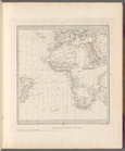
India V
World on gnomonic projection …
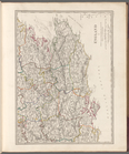
England V
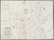
Park between 35th and 36th St…
Hollis Terrace addition no. 1…
m
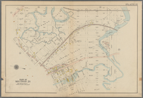
Map 1 - Manhattan and Bronx
m
Primorskai︠a︡ S.-Peterburgo-S…
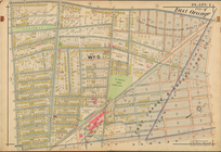
City of East Orange, Double P…
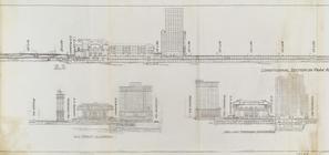
Express level - 1st half
Sections and Elevations - 1st…
Street Level - 1st half
Map. Manhattan's Railroad ent…
Suburban Level - 1st half.
Priznaki granits I ukreplenii…
Bounded by Avenue P., E. 31st…
Bounded by Avenue V., Knapp S…
Bounded by 86th Street, W. 9t…
Bounded by 72nd Street, 22nd …
Bounded by 85th Street, 1st A…
Bounded by Mackay Pl., 1st Av…
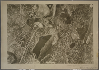
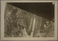
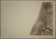
1D - N.Y. City (Aerial Set).
1A - N.Y. City (Aerial Set).
1B - N.Y. City (Aerial Set).
1C - N.Y. City (Aerial Set).
Subdivision of Block 5 of the…
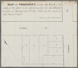
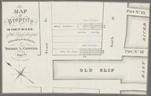
Map of property in the 1st wa…
Map of valuable property in t…
Map of property in the 1st wa…
Township no. 74 N. range no.…
Map shewing the position of t…
m
Post route map of the State o…
Map no. 1 from San Francisco …
General map of the island of …
Map no. 1, from San Francisco…
Map no. 1 of the El Paso & Fo…
Megeath Stationery Co's Trans…
Kniga glagolema︠i︡a kosmograf…
Sketch D, No. 2 showing the p…
No. 1, diagram of coal measur…
m
Lot numbers 1 to 5 - R. Livin…
m
Water lots back of A. V. Cotl…
Sketch E showing the progress…
Map of the city of Washington…
Map of the city of Washington…
Plan Kazanskoi gubernii Spask…
Portions of 1st, 2nd, and 3rd…
Vereinigte Staaten von Amerik…
Sketch showing the progress o…
Parts of 1st ward of the city…
1
2
3
4
5
6
7
8
9
10
…
23
24
Previous
Next
1
2
3
4
5
6
7
8
9
10
…
23
24
Previous
Next