Click to visit the main New York Public Library Homepage
The New York Public Library
Digital Collections
About Digital Collections
Browse
Search only public domain materials
Items
Collections
Divisions
Home
Search
Browse
About
Search only public domain materials
Items
Collections
Divisions
Digital Collections
Using Images
Using Data
Search
Filtered search
Show filters
Hide filters
Show Only Public Domain
topic
Real property
4792
Fire insurance
4532
Cities & towns
4388
Maps
48
History
30
More
Less
name
Sanborn Map Company
4468
G.W. Bromley & Co
190
G.M. Hopkins & Co
126
Ullitz, Hugo
107
Bromley, George Washington
103
More
Less
collection
Atlases of New York City
4919
Atlases of the United States
625
Materīaly po istorīi russkoĭ kartografīi
22
Collection of broadside real estate maps announcing auctions of lots in early 19th century New York City
12
Maps of North America
11
More
Less
place
New York (State)
4815
New York
293
New York (N.Y.)
197
Jersey City (N.J.)
163
Hudson County (N.J.)
144
More
Less
genre
x
Maps
Atlases
624
Cadastral maps
15
Prints
10
Documents
4
More
Less
publisher
Sanborn Map Company
4513
G.W. Bromley & Co
186
E. Belcher Hyde
131
A.H. Mueller
99
Century Atlas Co
84
More
Less
division
Map Division
5583
General Research Division
30
Rare Book Division
7
Manuscripts and Archives Division
2
George Arents Collection
1
More
Less
type
cartographic
5616
text
16
still image
11
Date Range
to
5,625 results found
Filtering on:
x
Genre
: Maps
x
Note
: "v.9"--written on border.
Sort by:
Title
Date created
Date digitized
Sequence
m
I͡Uzhno-Donet͡skai͡a zheli͡ez…
m
9-oe Ocherednoe Obshchee Sobr…
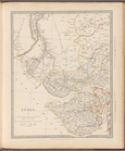
India V
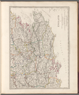
England V
Map of the comprehensive plan…
Map and profile showing sourc…
m
Map 9 - Manhattan, Brooklyn, …
m
A map shewing the extent of t…
m
Primorskai︠a︡ S.-Peterburgo-S…
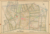
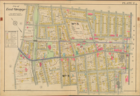
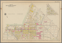
City of East Orange, Double P…
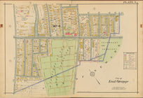
City of East Orange, Double P…
City of East Orange, Double P…
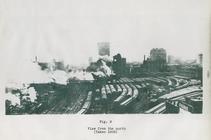
View from the north (figure 9)
Priznaki granits I ukreplenii…
Plan of burnt district (by fi…
Bounded by Avenue P., E. 31st…
Bounded by Avenue V., Knapp S…
Bounded by Ocean Parkway, Ave…
Bounded by 86th Street, W. 9t…
Bounded by 72nd Street, 22nd …
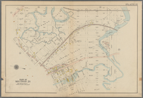
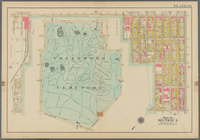
Bounded by (Greenwood Cemeter…
Bounded by 9th Avenue, Twenty…
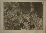
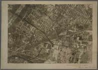
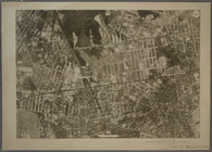
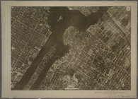
9B - N.Y. City (Aerial Set).
9C - N.Y. City (Aerial Set).
9D - N.Y. City (Aerial Set).
9A - N.Y. City (Aerial Set).
Sketch I, showing the progres…
Gansevoort Street, 9th Avenue…
m
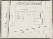
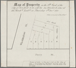
Map of property in the 9th wa…
Map of 14 lots in the 9th war…
m
Map of part of the real estat…
m
Map of property in the 9th wa…
Map of property in the 9th wa…
Map of property in the 9th wa…
13 lots of ground to be sold …
m
Map of property in the 9th wa…
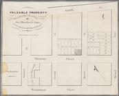
Valuable property for sale on…
m
Map of valuable property to b…
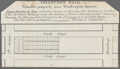
Chancery sale, valuable prope…
Map shewing the position of t…
Sketch of the battle ground a…
Map of the "Hunter Fly Farm" …
Kniga glagolema︠i︡a kosmograf…
Sketch D, No. 2 showing the p…
m
Water lots back of A. V. Cotl…
Sketch E showing the progress…
Plan Kazanskoi gubernii Spask…
Map showing condition and pro…
m
An accurate chart of the coas…
Plan of burnt district (by fi…
1
2
3
4
5
6
7
8
9
10
…
22
23
Previous
Next
1
2
3
4
5
6
7
8
9
10
…
22
23
Previous
Next