Click to visit the main New York Public Library Homepage
The New York Public Library
Digital Collections
About Digital Collections
Browse
Search only public domain materials
Items
Collections
Divisions
Home
Search
Browse
About
Search only public domain materials
Items
Collections
Divisions
Digital Collections
Using Images
Using Data
Search
Filtered search
Show filters
Hide filters
Show Only Public Domain
topic
Real property
127
City planning
37
Social conditions
18
Maps
5
Buildings
4
More
Less
name
E. Robinson Co
138
Pidgeon, R. H. (Roger H.)
138
Robinson, E. (Elisha)
138
G.W. Bromley & Co
130
Bromley, George Washington
105
More
Less
collection
Atlases of New York City
378
Maps of New York City and State
37
Lawrence H. Slaughter Collection of English maps, charts, globes, books and atlases
1
place
x
New York (N.Y.)
New York (State)
158
New York
138
Bronx (New York, N.Y.)
94
Manhattan (New York, N.Y.)
67
More
Less
genre
x
Maps
Cadastral maps
10
Outline maps
6
Index maps
4
Manuscript maps
4
publisher
E. Robinson Co
138
G.W. Bromley & Co
123
Sanborn Map Company
61
MIT Press
18
Department of Public Parks?
14
More
Less
division
Map Division
416
type
cartographic
398
still image
18
text
1
Date Range
to
416 results found
Filtering on:
x
Genre
: Maps
x
Note
: A. L. S. Endorsed: "... receivd 21st July 1796 ..."
x
Place
: New York (N.Y.)
Sort by:
Title
Date created
Date digitized
Sequence
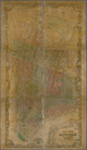
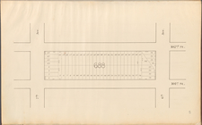
Map of New York City, south o…
m
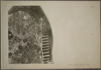
Map 21 - Richmond
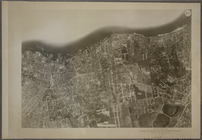
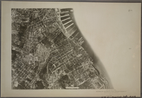
21A - N.Y. City (Aerial Set).
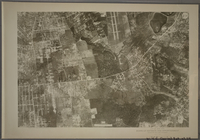
21B - N.Y. City (Aerial Set).
21C - N.Y. City (Aerial Set).
21D - N.Y. City (Aerial Set).
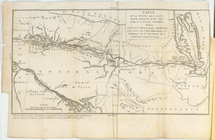
Carte de la route des lacs de…
Central Park Planning Map No.…
Map of New York City between …
Central Park Planning Map No.…
m
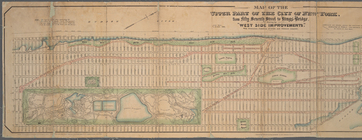
Map of the upper part of the …
Central Park Planning Map: Bo…
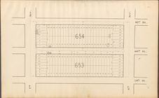
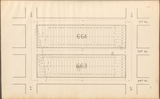
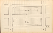
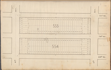
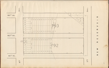
Block bounded by 2nd Ave., 99…
Central Park Planning Map No.…
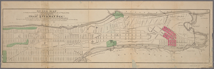
Guide map to 92 acres of land…
Central Park Planning Map No.…
Map of the real estate in the…
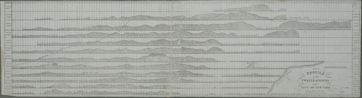
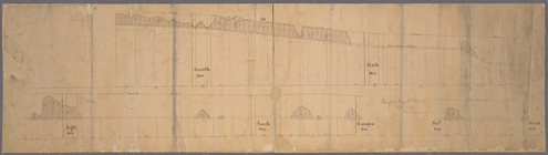
Profile of the twelve avenues…
Map of the village of Flushin…
m
Map of the city of New-York e…
Mulberry Bend District. Map b…
Central Park Planning Map No.…
Central Park Planning Map: Bo…
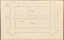
Property nos. 43, 45, and 47 …
Plan of High Bridge Park : pr…
Central Park Planning Map No.…
m
Map of New York City south of…
Map of Drainage System on Low…
Central Park Planning Map No.…
Central Park Planning Map: Bo…
Central Park Planning Map: Bo…
Central Park Planning Map: Bo…
Central Park Planning Map: Bo…
Central Park Planning Map No.…
Pierhead and bulkhead lines f…
Central Park Planning Map No.…
Central Park Planning Map: Bo…
Central Park Planning Map No.…
Plan showing course of stream…
Map of the City & County of N…
New-York : Map of the consoli…
Central Park Planning Map: Bo…
[Profile of 56th St. from Sev…
Double Page Plate No. 21, Par…
Double Page Plate No. 21, Par…
Double Page Plate No. 21, Par…
Street Index. High Bridge Ter…
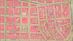
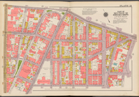
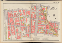
Plate 21: Bounded by Lexingto…
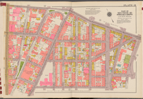
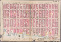
Plate 31: Bounded by Second A…
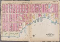
Plate 32: Bounded by E. 108t…
1
2
Previous
Next
1
2
Previous
Next