Click to visit the main New York Public Library Homepage
The New York Public Library
Digital Collections
About Digital Collections
Browse
Search only public domain materials
Items
Collections
Divisions
Home
Search
Browse
About
Search only public domain materials
Items
Collections
Divisions
Digital Collections
Using Images
Using Data
Search
Filtered search
Show filters
Hide filters
Show Only Public Domain
topic
Real property
18
Landowners
7
City planning
6
Geology
4
Charts, diagrams, etc
3
More
Less
name
Ullitz, Hugo
6
E.B. Hyde & Co
4
G.W. Bromley & Co
3
Smith, Edwin
3
United States. War Department
3
More
Less
collection
Maps of New York City and State
28
Atlases of New York City
12
Collection of broadside real estate maps announcing auctions of lots in early 19th century New York City
3
place
x
New York
New York (State)
43
New York (N.Y.)
20
Manhattan (New York, N.Y.)
14
Brooklyn (New York, N.Y.)
9
More
Less
genre
x
Maps
Cadastral maps
4
Manuscript maps
4
Indexes
2
Book covers
1
More
Less
publisher
E. Belcher Hyde
3
E.B. Hyde & Co
3
G.W. Bromley & Co
3
Department of Public Works
2
G.W. & C.B. Colton & Co
2
More
Less
division
Map Division
43
type
cartographic
40
text
3
still image
1
Date Range
to
43 results found
Filtering on:
x
Genre
: Maps
x
Note
: A. L. S. Endorsed: "Letter from Col. Atlee Augt. 1776." 1 page. 8o
x
Place
: New York
Sort by:
Title
Date created
Date digitized
Sequence
Brooklyn, from Rand McNally m…
Map showing the present dista…
Map of the Harlem River and S…
The northwesterly part of the…
Southern part of the borough …
m
Map of 45 lots of ground leas…
m
Map & plan of the contemplate…
Map & plan of the contemplate…
A plan of New York Island, pa…
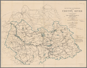
Plate I. Map of the watershed…
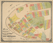
Map showing the old farms : f…
Plan of the city of New-York …
Map of wharves and piers on N…
m
Map of the city of Brooklyn, …
Plan of the city of New-York …
m
Map of the original grants of…
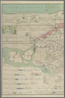
Proposed Harlem River Drive f…
m
Plan of the Harlem River Driv…
m
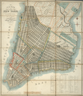
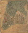
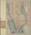
Map of New York City from Bat…
m
Map showing the high and low …
Map showing the original high…
m
Beers' new map of Staten Isla…
Blackwell's, Ward's and Randa…
m
New map of that part of the c…
m
Citizens & traverlers guide m…
m
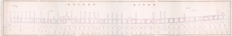
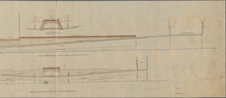
Profile of Riverside Drive fr…
m
Map of the Harlem River and S…
Map of the street railway run…
Pierhead and bulkhead lines f…
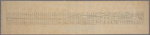
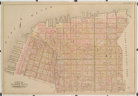
Atlas of the city of New York…
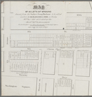
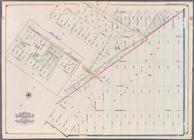
Bounded by East 45th Street, …
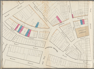
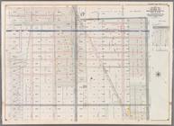
Bounded by 66th Street, Seven…
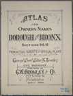
Atlas and owners names, borou…
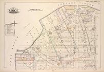
Atlas and owners names, borou…
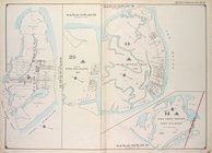
Detailed Estate and Old Farm …
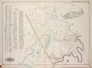
Brooklyn, Vol. 3, Double Page…
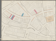
Sub Plan from Plate 33 [Barre…
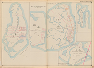
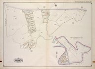
Queens, Vol. 1A, Double Page …
Queens, Vol. 1A, Double Page …
Plate 1: [Pier area from the …
Vingboons map of Manhattan, 1…
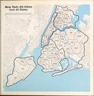
New York = 62 Cities from 50 …
m
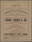
Absolute Auction Sale. Volunt…
End of results
|
Top