Click to visit the main New York Public Library Homepage
The New York Public Library
Digital Collections
About Digital Collections
Browse
Search only public domain materials
Items
Collections
Divisions
Home
Search
Browse
About
Search only public domain materials
Items
Collections
Divisions
Digital Collections
Using Images
Using Data
Search
Filtered search
Show filters
Hide filters
Show Only Public Domain
topic
Post roads
14
Nautical charts
13
City planning
11
History
11
Long Island, Battle of, New York, N.Y., 1776
8
More
Less
name
Bridges
14
Goodrich, A. T. (Andrew Thompson), 1789-1845
14
Rollinson, William, 1762-1842
14
Faden, William, 1749-1836
4
E. Robinson Co
3
More
Less
collection
Maps of New York City and State
49
Atlases of the United States
14
Lawrence H. Slaughter Collection of English maps, charts, globes, books and atlases
9
Atlases of New York City
6
I. N. Phelps Stokes Collection of American Historical Prints
5
More
Less
place
x
New York (N.Y.)
New York (State)
55
Manhattan (New York, N.Y.)
30
New Jersey
30
New York
20
More
Less
genre
x
Maps
Atlases
14
Prints
8
Manuscript maps
6
Cadastral maps
2
More
Less
publisher
Published by A.T. Goodrich, 124 Broad Way
14
s.n
6
E. Robinson Co
3
C. P. Wayne
2
Department of Public Works
2
More
Less
division
Map Division
84
Wallach Division: Print Collection
7
Rare Book Division
1
type
cartographic
89
text
3
still image
2
Date Range
to
92 results found
Filtering on:
x
Genre
: Maps
x
Note
: A. L. S. Endorsed: "Letter from Col. Atlee Augt. 1776." 1 page. 8o
x
Place
: New York (N.Y.)
Sort by:
Title
Date created
Date digitized
Sequence
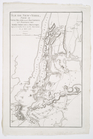
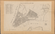
A plan of the city of New Yor…
Map showing the present dista…
Map of the Harlem River and S…
The northwesterly part of the…
Southern part of the borough …
Grundriss des nördlichen Thei…
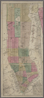
Map of New York City and of M…
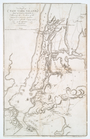
A plan of New York Island, pa…
Île de New-York, partie de Lo…
A chart of New York Harbour :…
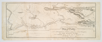
A chart of Delaware Bay and R…
A chart of Delaware Bay and R…
A Chart of ye coast of New En…
A chart of Delawar River from…
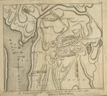
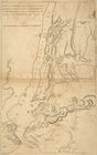
The engagement on the White P…
Entrance to New York Bay from…
A chart of Delaware Bay and R…
m
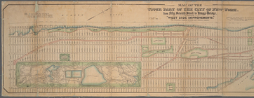
Map of the upper part of the …
Map of New York City from 50t…
Map of West Street from Batte…
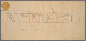
Paving map [Reade Street from…
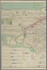
Map of New-York Bay and Harbo…
Map showing the old farms : f…
A plan of New York Island, pa…
A plan of New York Island, pa…
Map of the village of Hermann…
Map and plan to illustrate th…
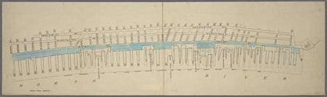
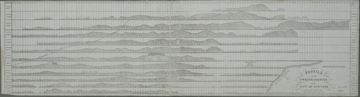
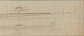
Profile of the twelve avenues…
Map of wharves and piers on N…
Hayward's map of the city of …
m
Map of the city of Brooklyn, …
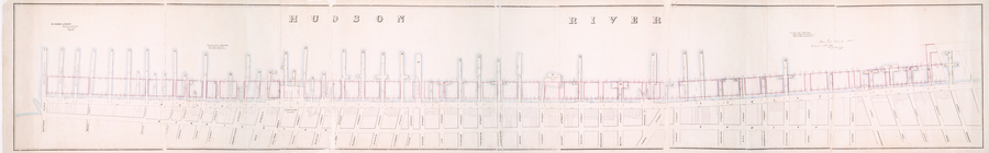
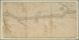
Map of the Hudson River from …
m
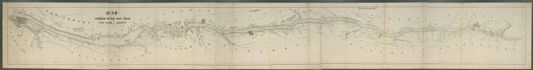
Map of the Hudson River Rail …
m
Map of Dutchess County, New-Y…
Map and profile of the Champl…
m
The engagement on the White P…
Long Island Sound from New Yo…
Chart and plan of the harbour…
Plan of the city of New-York …
Proposed Harlem River Drive f…
m
Plan of the Harlem River Driv…
m
Map of New York City from Bat…
New York and its surroundings…
Goulding's directory map of N…
m
Citizens & traverlers guide m…
m
Profile of Riverside Drive fr…
m
Goulding's directory map of N…
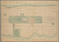
Plan of the City of New York.…
m
Map of the Harlem River and S…
A Draught of New York from th…