Click to visit the main New York Public Library Homepage
The New York Public Library
Digital Collections
About Digital Collections
Browse
Search only public domain materials
Items
Collections
Divisions
Home
Search
Browse
About
Search only public domain materials
Items
Collections
Divisions
Digital Collections
Using Images
Using Data
Search
Filtered search
Show filters
Hide filters
Show Only Public Domain
topic
x
Real property
Landowners
12
Cities & towns
4
Fire insurance
4
Administrative and political divisions
3
More
Less
name
Everts, Ensign & Everts
8
G.W. Bromley & Co
5
E.B. Hyde & Co
4
F.W. Beers & Co
4
Pidgeon, R. H. (Roger H.)
4
More
Less
collection
Atlases of the United States
23
Atlases of New York City
14
Maps of New York City and State
13
Maps of North America
5
Collection of broadside real estate maps announcing auctions of lots in early 19th century New York City
3
place
New York (State)
49
New York
18
Genesee County (N.Y.)
8
Brooklyn (New York, N.Y.)
7
New York (N.Y.)
7
More
Less
genre
x
Maps
Atlases
23
Cadastral maps
7
Indexes
2
Book covers
1
More
Less
publisher
F. W. Beers & Co
4
G.W. Bromley & Co
4
Sanborn Map Company
4
E.B. Hyde & Co
3
E. Robinson Co
2
More
Less
division
Map Division
58
type
cartographic
54
text
3
still image
1
Date Range
to
58 results found
Filtering on:
x
Genre
: Maps
x
Note
: A. L. S. Endorsed: "Letter from Col. Atlee Augt. 1776." 1 page. 8o
x
Topic
: Real property
Sort by:
Title
Date created
Date digitized
Sequence
m
Map of 45 lots of ground leas…
m
Map & plan of the contemplate…
Map & plan of the contemplate…
A compleat map of North-Carol…
A compleat map of North-Carol…
Map of building lots, on the …
m
Map of Tolland County, Connec…
Map of the province of New Yo…
m
Map of Cayuga and Seneca Coun…
Map of the eastern townships …
Map showing the old farms : f…
Map of the village of Hermann…
Village of Livingston's Landi…
m
Map of the city of Brooklyn, …
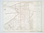
Map of Morris's Purchase or W…
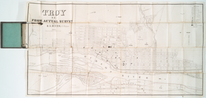
Troy, N.Y., from actual survey
m
Map of the original grants of…
m
Map of New York City from Bat…
m
Map showing the high and low …
m
Beers' new map of Staten Isla…
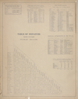
Table of Distances. ; Post Of…
Illustrated historical atlas …
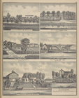
Parlor; Main Entrance; Dining…
View from Falconwood ; Entran…
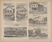
Store of Leroy S. Oatman, Dru…
Explanations for the Atlas ; …
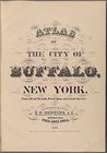
Atlas of the city of Buffalo,…
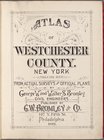
Atlas of Westchester County. …
Atlas of Westchester County. …
Plat Book of Monroe County Ne…
Atlas of the city of Mount of…
Robinson's atlas of the city …
Atlas of the city of Mount Ve…
Atlas of Essex County New Jer…
Volume One plat book of Jerse…
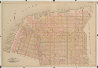
Atlas of the City of New York…
Bounded by East 45th Street, …
Bounded by 66th Street, Seven…
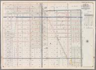
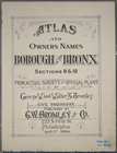
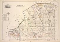
Atlas and owners names, borou…
Atlas and owners names, borou…
Detailed Estate and Old Farm …
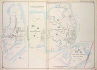
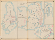
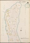
Atlas of the Borough of Richm…
Brooklyn, Vol. 3, Double Page…
Sub Plan from Plate 33 [Barre…
Bronx, V. B, Plate Letter. A …
Bronx, V. B, Plate Letter. B …
Bronx, V. B, Plate Letter. C …
Bronx, V. B, Plate Letter. D …
Plate 1: [Pier area from the …
Res. & Farm of Henry Ives, Ba…