Click to visit the main New York Public Library Homepage
The New York Public Library
Digital Collections
About Digital Collections
Browse
Search only public domain materials
Items
Collections
Divisions
Home
Search
Browse
About
Search only public domain materials
Items
Collections
Divisions
Digital Collections
Using Images
Using Data
Search
Filtered search
Show filters
Hide filters
Show Only Public Domain
topic
Atlases
2
Geography
2
Atlases, British
1
Colonies
1
Historical geography
1
More
Less
name
Moll, Herman, -1732
3
Bowles, Thomas, 1694-1773
2
Berry, William, active 1669-1708
1
Bew, John, -1793
1
Caldcleugh, Alexander, -1858
1
More
Less
collection
Lawrence H. Slaughter Collection of English maps, charts, globes, books and atlases
4
America: being the latest, and most accurate description of the Nevv vvorld
1
Atlases, gazetteers, guidebooks and other books
1
I. N. Phelps Stokes Collection of American Historical Prints
1
Maps of North and South America
1
More
Less
place
x
South America
Great Britain
3
America
2
Central America
2
North America
2
More
Less
genre
x
Maps
Prints
3
publisher
... Sold ... by Tho. Bowles, print and map-seller in St. Paul's-Churchyard
2
Printed for Robert Sayer, No. 53, Fleet-Street
1
Chapman and Hall
1
John Murray, Albemarle Street
1
Printed by the author, and are to be had at his house
1
More
Less
division
Map Division
7
General Research Division
1
Rare Book Division
1
Wallach Division: Print Collection
1
type
cartographic
10
still image
1
Date Range
to
10 results found
Filtering on:
x
Genre
: Maps
x
Place term
: London
x
Place
: South America
Sort by:
Title
Date created
Date digitized
Sequence
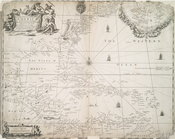
A map of Dutch settlements of…
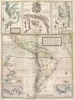
World on gnomonic projection …
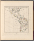
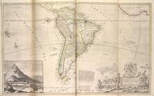
South America from the latest…
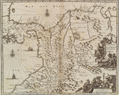
Terra firma et novum regnum G…
A new & exact map of the coas…
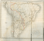
Map of South America ...
A new & exact map of the coas…
A new map of the English plan…
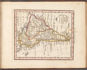
South America as divided amon…
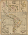
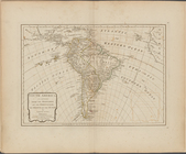
Map of South America, extendi…