Click to visit the main New York Public Library Homepage
The New York Public Library
Digital Collections
About Digital Collections
Browse
Search only public domain materials
Items
Collections
Divisions
Home
Search
Browse
About
Search only public domain materials
Items
Collections
Divisions
Digital Collections
Using Images
Using Data
Search
Filtered search
Show filters
Hide filters
Show Only Public Domain
topic
Nautical charts
23
Harbors
9
Coasts
2
Navigation
2
World maps
2
More
Less
name
Thornton, Samuel
37
Bache, A. D. (Alexander Dallas), 1806-1867
17
United States Coast Survey
17
Mathiot, G
5
Gerdes, F. H
4
More
Less
collection
Atlases, gazetteers, guidebooks and other books
37
Maps of North America
20
Maps of New York City and State
4
place
Atlantic Ocean
9
Newfoundland and Labrador
4
Albemarle Sound (N.C.)
3
Indian Ocean
3
Louisiana
3
More
Less
genre
x
Nautical charts
Maps
61
Bathymetric maps
6
publisher
U.S. Coast Survey Office
7
U.S. Coast Survey
6
United States Coast Survey
3
The United States Coast and Geodetic Survey
2
U.S. House of Representatives
2
More
Less
division
Map Division
61
type
cartographic
61
Date Range
to
61 results found
Filtering on:
x
Genre
: Nautical charts
x
Place
: ('geographic', "Mcgowan's Pass (New York, N.Y.)")
Sort by:
Title
Date created
Date digitized
Sequence
Reconnaissance of Pass Fourch…
Preliminary chart of San Luis…
Grand Island Pass, Mississipp…
Horn Island Pass, Mississippi…
Alaska Peninsula and Aleutian…
Alaska Peninsula and Aleutian…
Reconnaissance of New River a…
Albemarle Sound, N. Carolina,…
Preliminary chart of York Riv…
Albemarle Sound, N. Carolina,…
Passe A Loutre, Mississippi D…
Harbor of Pass Christian, Mis…
Preliminary reconnaissance of…
Map of Buffalo Harbor, N.Y., …
1889, Larchmont Harbor, N.Y.:…
The Harbor of New Bedford
The harbor of New Bedford
York River and Cape Neddick h…
Preliminary chart of Portsmou…
The harbor of New Bedford
America, N.W. Coast, Strait o…
The coast of the United State…
Asher & Adams' map of the bay…
A chart of New York Harbour :…
A new mapp of East and West N…
Part of New England, New York…
A large draught of New Englan…
A new chart of the sea coast …
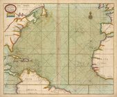
A new and correct chart from …
A new mapp of CAROLINA ; A la…
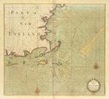
Part of NEW ENGLAND
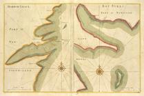
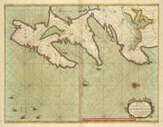
HARBOR GRACE part of New -Fou…
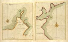
PORT BONAVISTA part of New-fo…
A new chart of the trading pa…
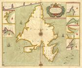
A chart od Iland of NEW FOUND…
A new and correct chart of th…
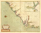
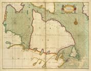
A draught of the coast of NEW…
A new and correct chart of pa…
A new and correct chart shewi…
A new chart of the coast of O…
A new chart of part of the co…
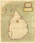
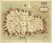
A new mapp of the Island of Z…
A new mapp of the Island of B…
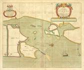
A new draught of the Island o…
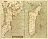
A new mapp of the Island of S…
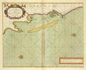
A new chart of the sea coast …
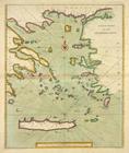
A new chart of the ARCHIPELAGO
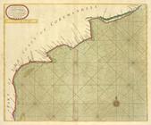
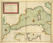
A new chart of the coast of t…
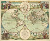
A new mapp of the world.
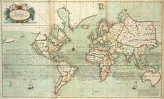
A new and correct Mapp of the…