Click to visit the main New York Public Library Homepage
The New York Public Library
Digital Collections
About Digital Collections
Browse
Search only public domain materials
Items
Collections
Divisions
Home
Search
Browse
About
Search only public domain materials
Items
Collections
Divisions
Digital Collections
Using Images
Using Data
Search
Filtered search
Show filters
Hide filters
Show Only Public Domain
topic
Railroads
4
Administrative and political divisions
2
Coal leases
2
Coal mines and mining
2
History
2
More
Less
name
Geological Survey (U.S.)
5
Bien, Julius, 1826-1909
4
Geological Survey of New Jersey
4
Julius Bien & Co
3
Vermeule, C. C. (Cornelius Clarkson), 1858-1950
3
More
Less
collection
Atlases of New York City
24
Maps of New York City and State
14
Maps of North America
14
Atlases of the United States
1
Scrap book containing newspaper and magazine clippings concerning the project to extend Manhattan Island some six miles south of the Battery
1
More
Less
place
Staten Island (New York, N.Y.)
23
New York (State)
14
New York
8
New York Metropolitan Area
8
New York (N.Y.)
6
More
Less
genre
x
Topographic maps
Maps
55
Cadastral maps
3
Geological maps
2
Atlases
1
More
Less
publisher
U.S. Geological Survey
3
Geological Survey of New Jersey
2
J. Bien
2
Topographical Bureau
2
Asher & Adams
1
More
Less
division
Map Division
54
General Research Division
1
type
cartographic
55
text
1
Date Range
to
55 results found
Filtering on:
x
Genre
: Topographic maps
x
Place
: ('geographic', "Jones's Wood (New York, N.Y.)")
Sort by:
Title
Date created
Date digitized
Sequence
m
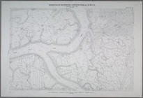
New York City and vicinity
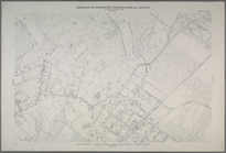
Topographical map showing str…
m
New York und Umgegend
Relief map of New York and vi…
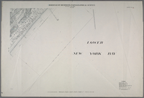
New York City and environs : …
m
Topographical map of New York…
Map of the White Mountains of…
Nell's new topographical & to…
A geological and topographica…
m
Map of n. eastern Virginia an…
A geological and topographica…
A topographical map of a part…
m
Topographical map of the stat…
m
Asher & Adams' new topographi…
Relief map of New Jersey: bas…
Perrine's new topographical w…
Topographical map of the stat…
New Jersey (Sussex County) Fr…
Topographical map of Monadnoc…
Map of the White Mountains of…
New Haven, Connecticut
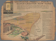
Grandiose Project for a Super…
Topographical map made from s…
A topographical map of Lewis …
Topographical map of Seneca C…
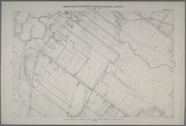
Land classification map, New …
m
Map or plan of streets, roads…
m
Map or plan showing the propo…
m
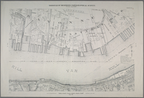
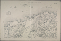
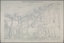
General map of the city of Ne…
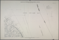
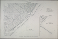
Sheet Nos. 1 & 4. [Sheet No. …
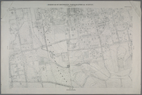
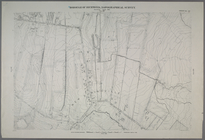
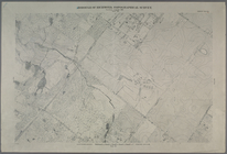
Sheet No. 2. [Includes Richmo…
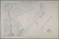
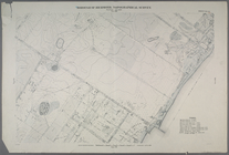
Sheet No. 3. [Includes Sailor…
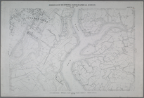
Sheet Nos. 5 & 12. [Sheet No.…
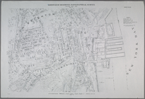
Sheet No. 8. [Includes New Yo…
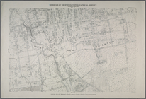
Sheet No. 9. [Includes Bennet…
Sheet No. 10. [Includes Sailo…
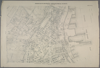
Sheet No. 11. [Includes New B…
Sheet No. 16. [Includes West …
Sheet No. 18. [Includes Gryme…
Sheet No. 26. [Includes Upper…
Sheet No. 37. [Includes Rockl…
Sheet No. 42. [Includes South…
Sheet No. 44. [Includes Linol…
Sheet No. 45. [Includes New S…
Sheet No. 50. [Includes South…
Sheet No. 52. [Includes (Fres…
Sheet No. 55. [Includes (Egbe…
Sheet Nos. 57 & 64. [Sheet 57…
Sheet No. 62. [Includes New D…
Sheet No. 63. [Includes Midla…