Click to visit the main New York Public Library Homepage
The New York Public Library
Digital Collections
About Digital Collections
Browse
Search only public domain materials
Items
Collections
Divisions
Home
Search
Browse
About
Search only public domain materials
Items
Collections
Divisions
Digital Collections
Using Images
Using Data
Search
Filtered search
Show filters
Hide filters
Show Only Public Domain
topic
x
Local transit
Trolley cars
105
Railroads, Elevated
92
Streets
78
Railroads
48
More
Less
name
Hubacher, Max Henry, 1900-1989
172
Rand McNally and Company
12
Dripps, M. (Matthew)
6
G.W. & C.B. Colton & Co
6
Matthews-Northrup Company
6
More
Less
collection
Collection of photographs of New York City, New York State and more by Max Hubacher
172
Maps of New York City and State
101
place
Brooklyn (New York, N.Y.)
166
Manhattan (New York, N.Y.)
101
New York (State)
100
New York (N.Y.)
93
New York
58
More
Less
genre
Photographs
172
Maps
101
Mass transit
3
Road maps
3
Tourist maps
3
More
Less
publisher
Rand, McNally & Co
6
Matthews-Northrup Co
5
The Company
5
E. Belcher Hyde
4
G.W. and C.B. Colton & Co
4
More
Less
division
Milstein Division
172
Map Division
101
type
still image
172
cartographic
101
Date Range
to
273 results found
Filtering on:
x
Place
: ('geographic', "Jones's Wood (New York, N.Y.)")
x
Topic
: Local transit
Sort by:
Title
Date created
Date digitized
Sequence
Hammond's complete map of New…
m
The five boroughs of the city…
m
Map of the borough of Brookly…
Rapid transit map of Kings, Q…
m
Map of the borough of Queens,…
m
New quick reference street in…
Rand, McNally & Co.'s new han…
Rand McNally & Co.'s new hand…
m
The Wanamaker diary map of Ne…
Center of New York, first cit…
New map of the great metropol…
m
New guide map of New York Cit…
m
Manhattan borough and part of…
m
Hagstrom's map of upper New Y…
m
Hammond's new guide map of Ma…
m
Taunton new guide map and dir…
Map of New York City : showin…
m
Topographical map of New York…
Map of portion of greater New…
Hagstrom's map of ... New Yor…
m
Hagstrom's map of Queens N.Y.…
m
Hagstrom's map of Brooklyn (N…
m
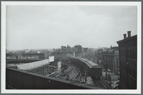
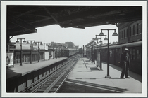
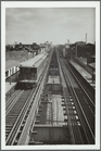
View from the Broadway statio…
m
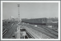
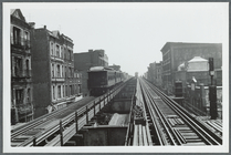
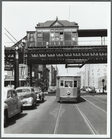
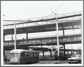
Subway and Elevated at East N…
m
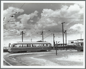
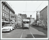
Two crosstown streetcars at t…
m
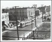
East New York, NY
m
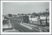
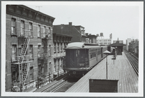
The Myrtle Avenue Elevated in…
m
The Myrtle Avenue El in Brook…
m
Broadway and Myrtle in Brookl…
m
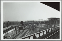
Elevated at East New York
m
The Myrtle Avenue El, seen fr…
m
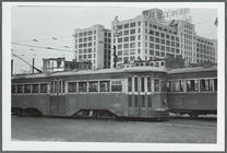
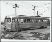
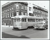
Vanderbilt streetcar near Laf…
m
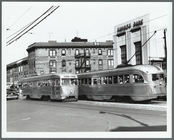
Brooklyn, N.Y. [streetcar and…
m
Brooklyn, N.Y. [Church Avenue]
m
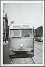
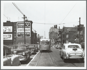
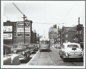
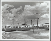
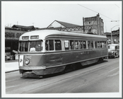
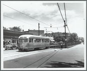
Brooklyn, N.Y. [streetcar]
m
Brooklyn, N.Y.
m
Brooklyn, N.Y. [Church Avenue…
m
Brooklyn, N.Y. [Church Avenue…
m
Brooklyn, N.Y. [streetcar]
m
Brooklyn, N.Y. [Nostrand Aven…
m
Brooklyn, N.Y. [Church Avenue…
m
Brooklyn, N.Y. [streetcar]
m
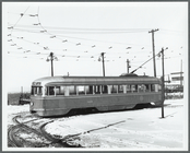
Brooklyn, N.Y. [Streetcar on …
m
Brooklyn, N.Y. [Church Avenue…
m
Brooklyn, N.Y. [Church Avenue…
m
Brooklyn, N.Y. [trolley stati…
m
Church Avenue trolley underpa…
m
Brooklyn, N.Y. [streetcar]
m
Brooklyn, N.Y. [Streetcar nex…
m
Brooklyn, N.Y. [2nd Avenue an…
1
2
Previous
Next
1
2
Previous
Next