Click to visit the main New York Public Library Homepage
The New York Public Library
Digital Collections
About Digital Collections
Browse
Search only public domain materials
Items
Collections
Divisions
Home
Search
Browse
About
Search only public domain materials
Items
Collections
Divisions
Digital Collections
Using Images
Using Data
Search
Filtered search
Show filters
Hide filters
Show Only Public Domain
topic
x
Roads
Railroads
43
Administrative and political divisions
23
Mountains
14
Landowners
10
More
Less
name
Pease, N. W. (Nathan W.), 1836-1918
15
Carey, Mathew, 1760-1839
9
Jones, T. W
9
Moore, S. S
9
Rand McNally and Company
9
More
Less
collection
Maps of New York City and State
59
Robert N. Dennis collection of stereoscopic views
43
Maps of North America
21
Detroit Publishing Company postcards
18
Lawrence H. Slaughter Collection of English maps, charts, globes, books and atlases
9
More
Less
place
New York (State)
69
New Hampshire
44
New York
27
New York Metropolitan Area
23
United States
18
More
Less
genre
Maps
90
Photographs
55
Stereographs
43
Road maps
24
Postcards
20
More
Less
publisher
Detroit Publishing Company
18
M. Carey
9
G.W. & C.B. Colton & Co
8
John P. Soule
5
M. Carey,
4
More
Less
division
Map Division
90
Wallach Division: Photography Collection
66
General Research Division
5
Milstein Division
2
Wallach Division: Picture Collection
2
More
Less
type
cartographic
89
still image
79
text
2
Date Range
to
167 results found
Filtering on:
x
Place
: ('geographic', "Jones's Wood (New York, N.Y.)")
x
Topic
: Roads
Sort by:
Title
Date created
Date digitized
Sequence
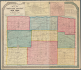
Map of New York City and vici…
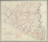
Rand, McNally & Co.'s new aut…
m
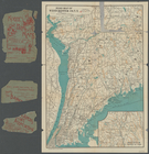
The John Wanamaker automobile…
New York and vicinity roads a…
Road map of the New York dist…
Birdseye view of greater New …
m
Map showing 100 miles around …
Rand McNally official 1921 au…
m
Map showing 50 miles around N…
m
The five boroughs of the city…
Hagstrom's map of 50 mile rad…
American Automobile Associati…
m
Map of New York City : showin…
Rand McNally & Co.'s new hand…
Map of the City of New York a…
Hammond's new guide map of Ma…
m
Hammond's new guide map of Ma…
m
Map of New York : showing Leh…
m
Driving road chart of the cou…
m
Rand McNally & Co.'s road map…
Map of New York City and vici…
m
Vicinity of New York
m
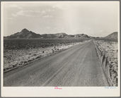
One of the migrants' routes w…
m
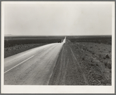
The highway going West. U.S. …
m
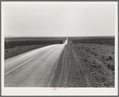
The highway going West. U.S. …
New map of Minnesota : carefu…
m
Chapman's new sectional map o…
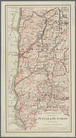
Johnson's Vermont and New Ham…
A new map of the states of Ca…
m
Rand, McNally & Co.'s new bus…
m
Colton's new map of Long Isla…
Territory of New Mexico
District of New Mexico
Topographical & township map …
m
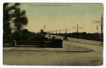
Entrance to Washington Bridge…
m
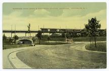
Bayridge Park Drive & rail-ro…
Colton's road map of the coun…
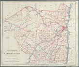
Road map of Erie County and p…
m
Colton's road map of Bergen C…
m
Colton's road map of Bergen C…
New York to New Rochelle: fro…
Road map of 'he sea coast of …
Driving and bicycle map of Es…
Driving road chart of Monmout…
Colton's road map of Monmouth…
Road map of Northern New Jers…
Colton's road map of Ulster C…
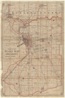
Map of Orleans County, New Yo…
Colton's road map of the coun…
Road map of Westchester Co., …