Click to visit the main New York Public Library Homepage
The New York Public Library
Digital Collections
About Digital Collections
Browse
Search only public domain materials
Items
Collections
Divisions
Home
Search
Browse
About
Search only public domain materials
Items
Collections
Divisions
Digital Collections
Using Images
Using Data
Search
Filtered search
Show filters
Hide filters
Show Only Public Domain
topic
x
Real property
Fire insurance
336
Cities & towns
317
Landowners
150
Business enterprises
99
More
Less
name
Sanborn Map Company
333
Beers, F. W. (Frederick W.)
177
G.W. Bromley & Co
120
E.B. Hyde & Co
110
Ullitz, Hugo
110
More
Less
collection
Atlases of New York City
643
Atlases of the United States
478
Maps of New York City and State
169
Maps of North America
44
Collection of broadside real estate maps announcing auctions of lots in early 19th century New York City
24
More
Less
place
New York (State)
1238
New York
355
Brooklyn (New York, N.Y.)
167
Manhattan (New York, N.Y.)
133
Westchester County (N.Y.)
116
More
Less
genre
Maps
1203
Atlases
478
Cadastral maps
164
Title pages
73
Prints
65
More
Less
publisher
Sanborn Map Company
319
G.W. Bromley & Co
102
E. Belcher Hyde
76
F. W. Beers & Co
60
Andreas, Baskin & Burr
52
More
Less
division
Map Division
1353
Milstein Division
9
Schomburg Jean Blackwell Hutson Research and Reference Division
7
Manuscripts and Archives Division
5
No Division
1
type
cartographic
1272
text
122
still image
21
Date Range
to
1,375 results found
Filtering on:
x
Place
: ('geographic', "Mcgowan's Pass (New York, N.Y.)")
x
Topic
: Real property
Sort by:
Title
Date created
Date digitized
Sequence
m
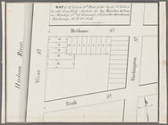
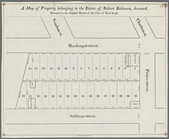
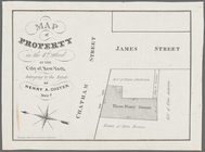
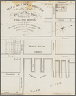
Maps of property in the city …
m
Map of the Cedar Knolls, at B…
m
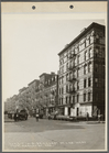
4044-1 Cherry St. lkg. West f…
m
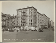
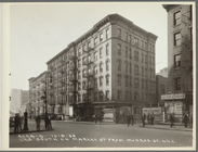
4044-2 Market St. lkg. North …
m
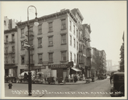
4044-6 Lkg. South on Catherin…
m
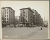
4044-7 Lkg. West on Monroe St…
m
4044-8 Lkg. South on Market S…
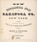
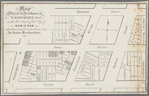
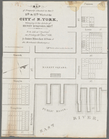
New topographical atlas of Sa…
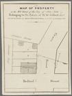
Residence of James Carrigan, …
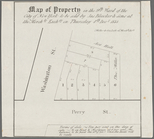
Acres of Land, Population, Dw…
Galway [Township]; Yorks Corn…
Tracts and farms with street …
Map of Jamaica in the 4th war…
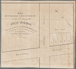
Map of property New York Dock…
Map of Kissena Park, third wa…
Block sketch 1679, New York C…
East River Heights, first war…
Map of 272 lots in the 30th w…
m
Map of the borough of Queens,…
m
Sea Gate, New York Harbor
Map of property in the 19th w…
m
Topographical map of New York…
m
Map of the City of Brooklyn a…
m
Driving road chart of the cou…
Map of portion of greater New…
m
Map of the southern part of W…
m
Map of Ulster County, New York
m
Map of Washington County, New…
Map showing locations of Dela…
Harrison's map of Jersey City…
m
Map of property at Fairmount…
A map of the town of New-ark …
Map of the port & vicinity of…
m
Map of property in the 9th wa…
m
Map of 19 lots in the fifteen…
Map of 14 lots in the 9th war…
m
Map of part of the real estat…
m
Map of property in the 9th wa…
Map of property in the 9th wa…
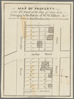
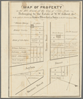
A map of property belonging t…
m
Map of property in the 9th wa…
Map of property in the eleven…
Map of property in the 7th Wa…
Map of property in the 4th Wa…
Map of property in the 13th W…
Map of property situated in t…
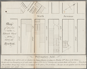
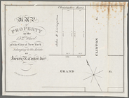
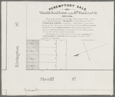
Peremptory sale of valuable r…
m
Map of 26 lots of ground in t…
m
Map of 5 valuable lots of gro…
m
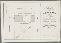
Map of property in the 3d War…
1
2
3
4
5
6
Previous
Next
1
2
3
4
5
6
Previous
Next