Click to visit the main New York Public Library Homepage
The New York Public Library
Digital Collections
About Digital Collections
Browse
Search only public domain materials
Items
Collections
Divisions
Home
Search
Browse
About
Search only public domain materials
Items
Collections
Divisions
Digital Collections
Using Images
Using Data
Search
Filtered search
Show filters
Hide filters
Show Only Public Domain
topic
x
Population
School districts
3
Administrative and political divisions
2
Census
1
Election districts
1
More
Less
name
Artemas Ward (Firm)
1
Claghorn, Kate Holladay, 1863-1938
1
Hayward, George, approximately 1800-
1
Norris Peters Co
1
Pierce, F. E. (Frederick Erastus), 1878-1935
1
More
Less
collection
Maps of New York City and State
7
place
x
New York (N.Y.)
New York (State)
7
Manhattan (New York, N.Y.)
5
New York
5
Bronx County (N.Y.)
1
More
Less
genre
Maps
7
Manuscript maps
3
Census data
1
publisher
producer not identified
3
Artemas Ward
1
G. Hayward
1
G.P.O
1
Harper & Brothers
1
division
Map Division
7
type
cartographic
7
Date Range
to
7 results found
Filtering on:
x
Place
: New York (N.Y.)
x
Place
: New York (State)
x
Topic
: Population
Sort by:
Title
Date created
Date digitized
Sequence
Map of the New York City metr…
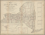
Map of the State of New-York …
m
Map[s] to accompany report "T…
m
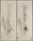
Map of part of New York City …
m
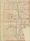
Population and school attenda…
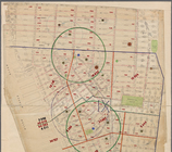
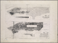
Block distribution of childre…
m
The Tenement-House Committee …