Click to visit the main New York Public Library Homepage
The New York Public Library
Digital Collections
About Digital Collections
Browse
Search only public domain materials
Items
Collections
Divisions
Home
Search
Browse
About
Search only public domain materials
Items
Collections
Divisions
Digital Collections
Using Images
Using Data
Search
Filtered search
Show filters
Hide filters
Show Only Public Domain
topic
x
Real property
Fire insurance
91
"Lung Block"
5
Landowners
5
Little Italies
5
More
Less
name
G.W. Bromley & Co
1015
Ullitz, Hugo
543
E.B. Hyde & Co
539
E. Belcher Hyde Map Company
425
Bromley, George Washington
153
More
Less
collection
Atlases of New York City
1755
Fred F. French Companies records
18
Maps of New York City and State
5
Hugh Gaine receipt book
1
place
x
New York
New York (State)
1779
Manhattan (New York, N.Y.)
941
Brooklyn (New York, N.Y.)
551
Maps
296
More
Less
genre
Maps
1647
Indexes
111
Title pages
54
Index maps
38
Photographs
15
More
Less
publisher
G.W. Bromley & Co
969
E. Belcher Hyde
421
E.B. Hyde & Co
118
E. Robinson Co
92
Sanborn Map Co
84
More
Less
division
Map Division
1760
Manuscripts and Archives Division
19
type
cartographic
1652
text
199
still image
17
Date Range
to
1,779 results found
Filtering on:
x
Language term
: English
x
Place
: New York
x
Topic
: Real property
Sort by:
Title
Date created
Date digitized
Sequence
m
#4321-5 Market and Cherry Sts…
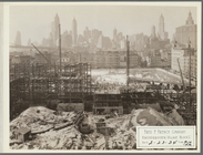
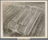
Bird's eye view of proposed s…
m
4044-1 Cherry St. lkg. West f…
Bird's eye view of proposed s…
m
Photograph and description of…
m
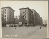
146 Cherry Street in the "Lun…
m
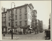
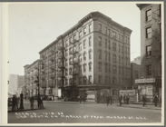
Corner of Cherry Street and M…
m
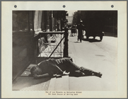
Youth Learning to Gamble on C…
m
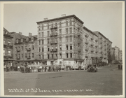
Cherry Street Near Market Sli…
m
Photograph of Al Smith swingi…
m
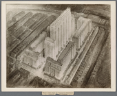
Knickerbocker Village
m
One of our Tenants on Catheri…
m
4044-2 Market St. lkg. North …
m
4044-6 Lkg. South on Catherin…
m
4044-7 Lkg. West on Monroe St…
m
4044-8 Lkg. South on Market S…
m
#4148-1 From Market & Hamilto…
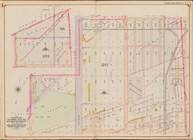
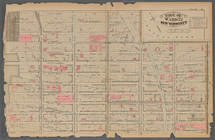
Block sketch 1679, New York C…
Map of property in the 19th w…
Map of the port & vicinity of…
She's a NICE GIRL, but she CO…
Topographical map of New York…
m
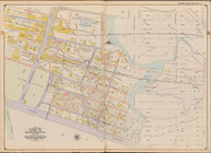
Map of the northern portion o…
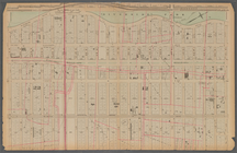
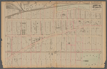
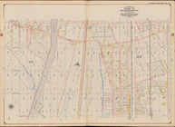
[Bounded by Avenue H, E. 18th…
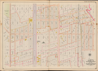
Plate 25: : [Bounded by Twelf…
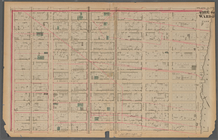
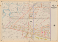
Plate 21: : [Bounded by E. 86…
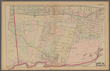
Plate 17:: Bounded by (Hudson…
Bounded by Avenue L, E. 19th …
Bounded by Stillwell Ave., Av…
Plate 37:: [Bounded by New Yo…
Plate 13:: [Bounded by W. 38t…
Plate 38:: [Bounded by (Harle…
Plate 30:: [Bounded by W. 152…
Plate 31:: [Bounded by Hudson…
Jamaica Bay and Rockaway Beac…
Bounded by Avenue Q, E. 36th …
Plate 20:: [Bounded by E. 74t…
Bounded by E. 52nd St., Avenu…
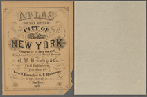
Atlas of the entire city of N…
Plate 16:: [Bounded by W. 62n…
Bounded by W. 12th St., Avenu…
Bounded by Avenue V, Ocean Av…
Bounded by Avenue K, E. 53rd …
Plate 34:: [Bounded by 156th …
Plate 24:: [Bounded by E. 120…
Bounded by (Fresh Creek) E. 1…
Plate 12:: [Bounded by W. 26t…
Plate 41:: [Central Park boun…
Maps of the city of New-York,…
Maps of the city of New-York…
1
2
3
4
5
6
7
8
Previous
Next
1
2
3
4
5
6
7
8
Previous
Next