Click to visit the main New York Public Library Homepage
The New York Public Library
Digital Collections
About Digital Collections
Browse
Search only public domain materials
Items
Collections
Divisions
Home
Search
Browse
About
Search only public domain materials
Items
Collections
Divisions
Digital Collections
Using Images
Using Data
Search
Filtered search
Show filters
Hide filters
Show Only Public Domain
topic
x
Administrative and political divisions
Landowners
2
Real property
2
Church buildings
1
Election districts
1
More
Less
name
Hooker, William
4
Bibliographischen Instituts (Hildburghausen, Germany)
1
Croes & Van Winkle (Firm)
1
Croes, J. J. R. (John James Robertson), 1834-1906
1
Dripps, M. (Matthew)
1
More
Less
collection
Maps of New York City and State
9
place
x
New York (N.Y.)
Manhattan (New York, N.Y.)
4
Brooklyn (New York, N.Y.)
3
New York
3
New York (State)
3
More
Less
genre
Maps
9
publisher
W. Hooker
3
A.J. Johnson
1
M. Dripps
1
Potter Bros., Brokers
1
Verlag des Bibliographischen Instituts
1
More
Less
division
Map Division
9
type
cartographic
9
text
5
Date Range
to
9 results found
Filtering on:
x
Language term
: English
x
Place
: New York (N.Y.)
x
Topic
: Administrative and political divisions
Sort by:
Title
Date created
Date digitized
Sequence
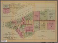
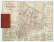
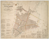
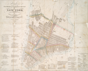
Map of the County of New York…
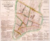
Topographical map of New York…
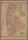
Johnson's New York and Brookl…
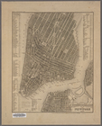
Plan von New-York, 1851
Hooker's new pocket plan of t…
m
Hooker's new pocket plan of t…
Hooker's new pocket plan of t…
Hooker's new pocket plan of t…
m
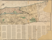
Map of the northern portion o…
Filter
x
Sorry. Nothing matches your entry
Feedback
Close
Feedback
Thank you!
Comment
Correction
Bug
400
Take a survey
Send
Please wait...
Thank you for helping the Library.
Close