Click to visit the main New York Public Library Homepage
The New York Public Library
Digital Collections
About Digital Collections
Browse
Search only public domain materials
Items
Collections
Divisions
Home
Search
Browse
About
Search only public domain materials
Items
Collections
Divisions
Digital Collections
Using Images
Using Data
Search
Filtered search
Show filters
Hide filters
Show Only Public Domain
topic
x
Real property
name
x
E. Robinson Co
Pidgeon, R. H. (Roger H.)
119
Robinson, E. (Elisha)
104
F. Bourquin & Co
9
Mueller, A. H. (August H.)
9
collection
Atlases of New York City
104
Atlases of the United States
24
place
New York (State)
104
New York
102
New York (N.Y.)
89
Essex County
24
Essex County (N.J.)
24
More
Less
genre
Maps
128
Atlases
24
publisher
E. Robinson Co
104
E. Robinson
24
division
Map Division
128
type
cartographic
128
Date Range
to
128 results found
Filtering on:
x
Name
: E. Robinson Co.
x
Note
: A. L. S. Endorsed: "... receivd 21st July 1796 ..."
x
Topic
: Real property
Sort by:
Title
Date created
Date digitized
Sequence
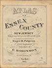
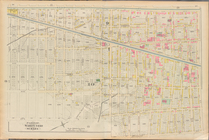
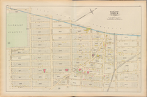
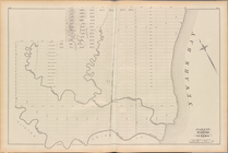
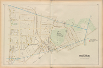
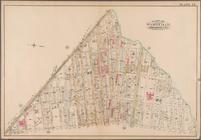
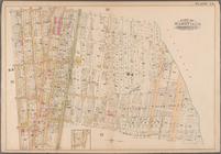
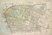
Atlas of Essex County New Jer…
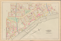
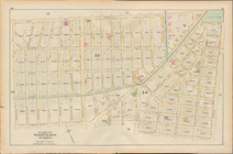
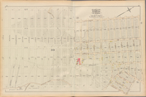
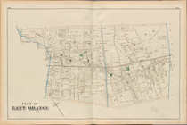
Essex County, Left Page Plate…
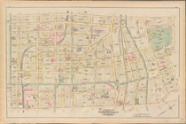
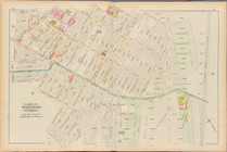
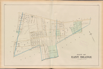
Essex County, Left Page Plate…
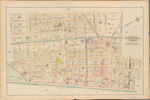
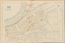
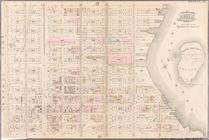
Essex County, Left Page Plate…
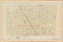
Essex County, Left Page Plate…
Essex County, Left Page Plate…
Essex County, Left Page Plate…
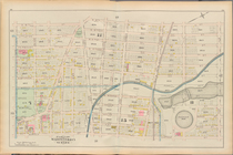
Essex County, Left Page Plate…
Essex County, Left Page Plate…
Essex County, Left Page Plate…
Essex County, Left Page Plate…
Essex County, Left Page Plate…
Essex County, Left Page Plate…
Essex County, Left Page Plate…
Essex County, Left Page Plate…
Essex County, Left Page Plate…
Essex County, Left Page Plate…
Essex County, Left Page Plate…
Essex County, Left Page Plate…
Essex County, Left Page Plate…
Essex County, Left Page Plate…
Essex County, Left Page Plate…
Essex County, Left Page Plate…
Essex County, Left Page Plate…
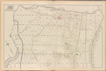
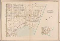
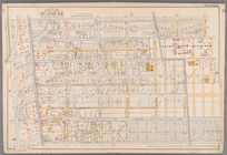
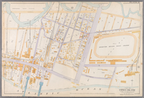
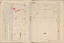
Plate 2: Bounded by West Stre…
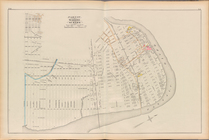
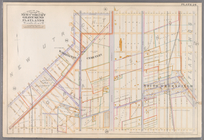
Plate 3: Bounded by West Stre…
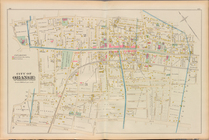
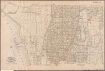
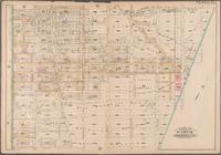
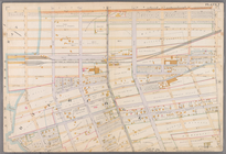
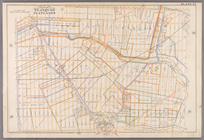
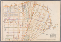
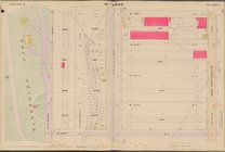
Plate 21: Bounded by E. 102nd…
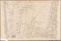
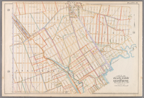
Plate 34: Bounded by 161st St…
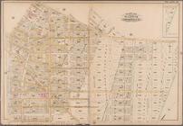
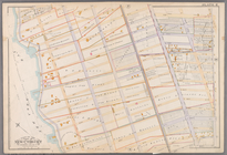
Plate 35: Bounded by .....N. …
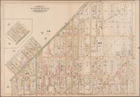
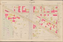
Plate 17: [Bounded by Flushin…
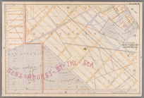
Plate 20: [Bounded by Saratog…
Plate 21: [Bounded by Van Bur…
Plate 22: [Bounded by Halsey …
Plate 23: [Bounded by Conway …
Plate 24: [Bounded by Saratog…
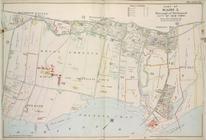
Plate 2: [Bounded by Fenimore…
Plate 7: [Bounded by 60th Str…
Plate 8: [Bounded by Mackay P…
Plate 19: [Bounded by 72nd St…
Plate 21: [Bounded by Canal A…
Plate 24: [Bounded by Avenue …
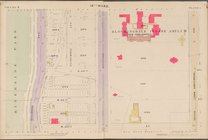
Plate 25: Bounded by Avenue C…
Plate 26: [Bounded by Avenue …
Plate 29: [Bounded by Malbone…
Plate 5, Part of Wards 1 & 3.…
Plate 21, Part of Ward 5: [Ma…
Map bounded by 10th Ave., W. …
Map bounded by W. 122nd St., …
Map bounded by W. 126th St., …
Map bounded by W. 130th St., …