Click to visit the main New York Public Library Homepage
The New York Public Library
Digital Collections
About Digital Collections
Browse
Search only public domain materials
Items
Collections
Divisions
Home
Search
Browse
About
Search only public domain materials
Items
Collections
Divisions
Digital Collections
Using Images
Using Data
Search
Filtered search
Show filters
Hide filters
Show Only Public Domain
topic
x
Maps
Real property
4
Armies
1
Campfires
1
Early works to 1800
1
More
Less
name
G.W. Bromley & Co
6
Bromley, George Washington
2
Bromley, Walter Scott
2
Brodhead, John Romeyn, 1814-1873
1
Jonge, J. C. de
1
More
Less
collection
Atlases of New York City
8
Maps of New York City and State
1
Wallach Division Picture Collection
1
place
New York (N.Y.)
5
Bronx (New York, N.Y.)
4
New York (State)
4
Brooklyn (New York, N.Y.)
3
New Netherland
1
More
Less
genre
Maps
9
Early maps
1
Facsimiles
1
Prints
1
publisher
G.W. Bromley & Co
6
M.B. Brown Printing & Binding Co.,
1
William Perris
1
publisher not identified
1
division
Map Division
9
Wallach Division: Picture Collection
1
type
cartographic
9
still image
1
Date Range
to
10 results found
Filtering on:
x
Note
: "Perlstein Jun 18, 1931."
x
Topic
: Maps
Sort by:
Title
Date created
Date digitized
Sequence
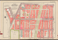
Bounded by Ditmas Avenue, Con…
Bounded by 43rd Street, West …
Map of New Netherland which w…
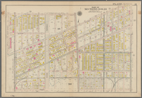
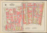
Double Page Plate No. 18, Par…
Double Page Plate No. 18, Par…
Double Page Plate No. 18, Par…
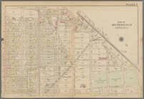
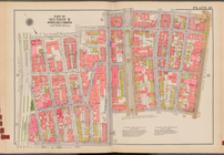
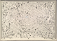
Plate 18: Map bounded by Degr…
Double Page Plate No. 18, Par…
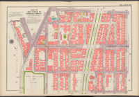
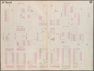
Area District Map Section No.…
French military officer consu…