Click to visit the main New York Public Library Homepage
The New York Public Library
Digital Collections
About Digital Collections
Browse
Search only public domain materials
Items
Collections
Divisions
Home
Search
Browse
About
Search only public domain materials
Items
Collections
Divisions
Digital Collections
Using Images
Using Data
Search
Filtered search
Show filters
Hide filters
Show Only Public Domain
topic
x
Real property
Fire insurance
4569
Cities & towns
4481
Landowners
27
Business enterprises
15
More
Less
name
Sanborn Map Company
4561
G.W. Bromley & Co
170
E.B. Hyde & Co
69
Ullitz, Hugo
69
Bromley, George Washington
46
More
Less
collection
Atlases of New York City
4760
Atlases of the United States
223
Maps of New York City and State
19
Maps of North America
11
Collection of broadside real estate maps announcing auctions of lots in early 19th century New York City
10
More
Less
place
New York (State)
4966
New York
299
Manhattan (New York, N.Y.)
113
Brooklyn (New York, N.Y.)
92
Westchester County (N.Y.)
87
More
Less
genre
Maps
4996
Atlases
223
Cadastral maps
22
Prints
17
Manuscript maps
8
More
Less
publisher
Sanborn Map Company
4481
G.W. Bromley & Co
166
Sanborn Map Co
80
G.M. Hopkins (Firm)
40
E.B. Hyde & Co
35
More
Less
division
Map Division
5017
Manuscripts and Archives Division
1
Schomburg Jean Blackwell Hutson Research and Reference Division
1
type
cartographic
5013
text
10
still image
4
Date Range
to
5,026 results found
Filtering on:
x
Note
: "T.MMMMM." "V.ü.d.K.I.A.b.IIITh." "Antiq. Tom. III."--lettered on border.
x
Topic
: Real property
Sort by:
Title
Date created
Date digitized
Sequence
m
Photograph and description of…
Residence of James Carrigan, …
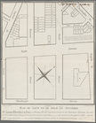
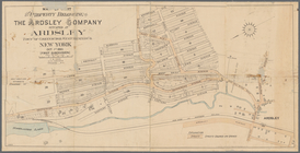
Subdivision of Block 5 of the…
m
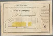
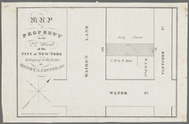
Map of lots to be sold at auc…
By order of the Court of Chan…
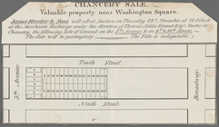
Chancery sale, valuable prope…
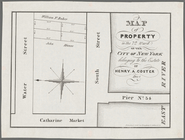
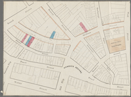
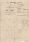
Map of property in the 7th Wa…
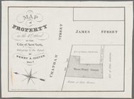
Map of property in the 4th Wa…
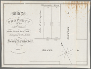
Map of property in the 13th W…
m
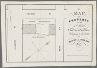
Map of property in the 3d War…
Map & plan of the contemplate…
Map of property in the 2nd wa…
Map of property in the 1st wa…
The Cornplanters Reserve, Ven…
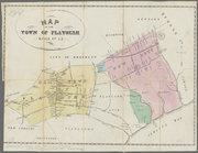
Map of the town of Flatbush, …
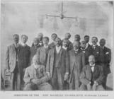
Directors of the New Rochelle…
Part of the city of Honolulu,…
Whitesboro, Brown Co., W.T.
Land given to the town of Qui…
M[ap of par]t of the property…
Map of the town of Tiverton, …
m
Map of Suffolk Co., L.I., New…
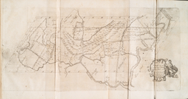
Map of the province of New Yo…
m
M. Stacy 1000 a. (survey of M…
m
A plan of 8 acres land survey…
m
Coll. John Bryerly's draught …
m
Draught of 8 3/4 acres of lan…
m
Return of three tract of pine…
Map of 163 sections or villa …
Map no. III : [to accompany A…
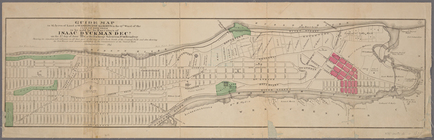
Guide map to 92 acres of land…
Map of Garret Nostrand's farm…
Map of lands in the city of N…
Map of the village of Flushin…
Map of 285 sections of ground…
Map of part of the Jackson Ho…
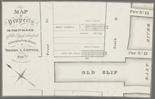
Valuable property in the 11th…
m
Plan of the city of Brooklyn,…
m
Plan of the city of Brooklyn,…
m
Map of the original grants of…
Map of John W. Decker's house…
m
Higginson's plan of the city …
Map of property belonging to …
m
Map of the village of Astoria…
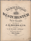
County atlas of Westchester, …
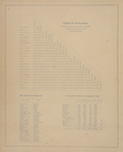
Table of Distances. ; Post Of…
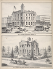
Cor. of Genesee & South Str's…
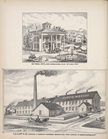
National Hotel, Port Byron, C…
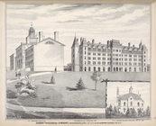
No.1 Seminary Building. No. 3…
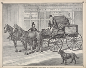
P.K. Kennedy's Peddling Wagon…
1
2
3
4
5
6
7
8
9
10
…
20
21
Previous
Next
1
2
3
4
5
6
7
8
9
10
…
20
21
Previous
Next