Click to visit the main New York Public Library Homepage
The New York Public Library
Digital Collections
About Digital Collections
Browse
Search only public domain materials
Items
Collections
Divisions
Home
Search
Browse
About
Search only public domain materials
Items
Collections
Divisions
Digital Collections
Using Images
Using Data
Search
Filtered search
Show filters
Hide filters
Show Only Public Domain
topic
x
Real property
Landowners
4
Maps
4
Buildings
1
Bulkheads
1
More
Less
name
E. Robinson Co
89
Pidgeon, R. H. (Roger H.)
89
Robinson, E. (Elisha)
89
G.W. Bromley & Co
32
Bromley, George Washington
16
More
Less
collection
Atlases of New York City
121
Maps of New York City and State
6
place
x
New York (N.Y.)
New York (State)
120
New York
107
Manhattan (New York, N.Y.)
26
Queens (New York, N.Y.)
7
More
Less
genre
Maps
127
Cadastral maps
9
Outline maps
6
Index maps
3
Manuscript maps
1
publisher
E. Robinson Co
89
G.W. Bromley & Co
25
G. W. Bromley & Co
7
Lith. of G. Hayward, 27 Cedar St.,
1
M. Dripps, 1857 (Phila[delphia] : engraved and printed at Kollner's Lithographic Establishment)
1
More
Less
division
Map Division
127
type
cartographic
127
Date Range
to
127 results found
Filtering on:
x
Note
: A. L. S. Endorsed: "... receivd 21st July 1796 ..."
x
Place
: New York (N.Y.)
x
Topic
: Real property
Sort by:
Title
Date created
Date digitized
Sequence
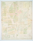
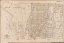
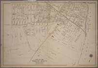
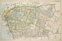
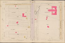
Map of New York City between …
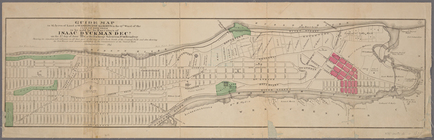
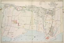
Guide map to 92 acres of land…
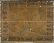
Map of the real estate in the…
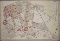
Map of the village of Flushin…
m
Map of the city of New-York e…
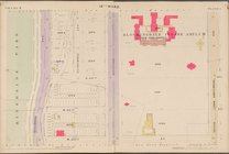
Property nos. 43, 45, and 47 …
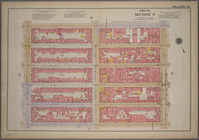
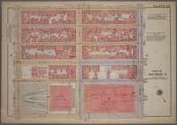
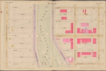
Double Page Plate No. 21, Par…
Double Page Plate No. 21, Par…
Double Page Plate No. 21, Par…
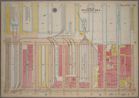
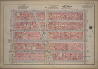
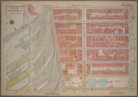
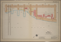
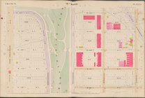
Plate 2: Bounded by West Stre…
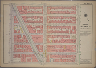
Plate 3: Bounded by West Stre…
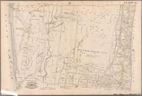
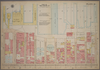
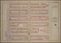
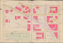
Plate 21: Bounded by E. 102nd…
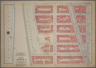
Plate 34: Bounded by 161st St…
Plate 35: Bounded by .....N. …
Plate 8: Bounded by Stanhope …
Plate 10: Bounded by Trotting…
Plate 11: Bounded by Juniper …
Plate 17: Bounded by Bowery B…
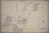
Plate 21: Bounded by (Mill Cr…
Plate 35: Bounded by Johnson …
Plate 39: Bounded by Chichest…
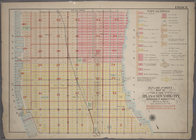
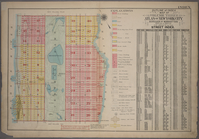
Outline and Index Map of Atla…
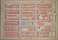
Plate 15, Part of Section 3: …
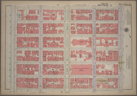
Plate 18, Part of Sections 3&…
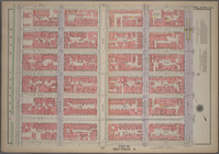
Plate 20, Part of Section 3: …
Plate 21, Part of Section 3: …
Plate 39, Part of Section 4: …
Outline and Index Map of Atla…
Plate 3, Part of Section 4: […
Plate 4, Part of Section 4: […
Plate 5, Part of Section 4: […
Plate 6, Part of Section 4: […
Plate 21, Part of Section 5: …
Plate 22, Part of Section 5: …
Plate 23, Part of Section 5: …
Plate 24, Part of Section 5: …
Plate 25, Part of Section 5: …
Plate 5, Part of Wards 1 & 3.…
Plate 21, Part of Ward 5: [Ma…
Map bounded by 10th Ave., W. …
Map bounded by W. 122nd St., …
Map bounded by W. 126th St., …
Map bounded by W. 130th St., …
Map bounded by W. 134th St., …
Map bounded by W. 138th St., …
Map bounded by W. 118th St., …
Map bounded by W. 122nd St., …
Map bounded by W. 126th St., …
Map bounded by W. 130th St., …
Map bounded by W. 134th St., …