Click to visit the main New York Public Library Homepage
The New York Public Library
Digital Collections
About Digital Collections
Browse
Search only public domain materials
Items
Collections
Divisions
Home
Search
Browse
About
Search only public domain materials
Items
Collections
Divisions
Digital Collections
Using Images
Using Data
Search
Filtered search
Show filters
Hide filters
Show Only Public Domain
topic
x
Administrative and political divisions
Landowners
3
Fire protection districts
2
Piers
2
Real property
2
More
Less
name
Hayward, George, b. ca. 1800
2
New York (N.Y.). Common Council
2
Valentine, D. T. (David Thomas), 1801-1869
2
Beers, D. G. (Daniel G.)
1
Beers, F. W. (Frederick W.)
1
More
Less
collection
Maps of New York City and State
8
Maps of North America
2
Maps of Europe
1
place
New York (N.Y.)
6
New York (State)
6
Manhattan (New York, N.Y.)
5
Brooklyn (New York, N.Y.)
1
Brooklyn (New York, N.Y.) -- Maps
1
More
Less
genre
Maps
11
Cadastral maps
1
Wall maps
1
publisher
E. Robinson
1
E. Robinson Co
1
General Land Office
1
J.E. Gillette & Co
1
Jean
1
More
Less
division
Map Division
11
type
cartographic
11
Date Range
to
11 results found
Filtering on:
x
Note
: A. L. S. Marked "3d. Copy." Endorsed. 3 pp. 4o
x
Topic
: Administrative and political divisions
Sort by:
Title
Date created
Date digitized
Sequence
m
Map of the vicinity of Philad…
m
Copy of map of state of Flori…
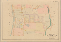
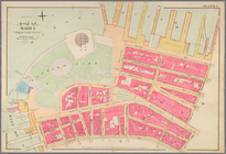
Part of Wards 3 & 4, Yonkers
Map of the province of New Yo…
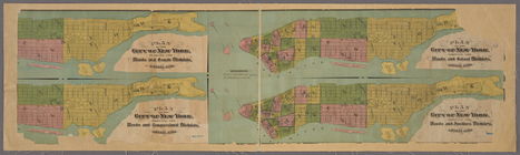
4 plans of the City of New Yo…
Hayward's map of the city of …
m
Map of New York City south of…
m
Part of Wards 1, 2, 3, 4, 5 &…
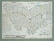
Map of the City & County of N…
Map of the city & county of N…
Carte de l'Empire Français Di…
End of results
|
Top