Click to visit the main New York Public Library Homepage
The New York Public Library
Digital Collections
About Digital Collections
Browse
Search only public domain materials
Items
Collections
Divisions
Home
Search
Browse
About
Search only public domain materials
Items
Collections
Divisions
Digital Collections
Using Images
Using Data
Search
Filtered search
Show filters
Hide filters
Show Only Public Domain
topic
x
Real property
Landowners
11
Fire insurance
5
Real propery auctions
5
Estate
2
More
Less
name
Ullitz, Hugo
39
E.B. Hyde & Co
38
E. Belcher Hyde Map Company
33
G.W. Bromley & Co
19
G.M. Hopkins & Co
16
More
Less
collection
Atlases of New York City
88
Maps of New York City and State
13
Fred F. French Companies records
6
Collection of broadside real estate maps announcing auctions of lots in early 19th century New York City
5
Maps of property in the city of New York belonging to John J. Astor Esq
1
place
x
New York
New York (State)
113
Brooklyn (New York, N.Y.)
68
Maps
24
Manhattan (New York, N.Y.)
22
More
Less
genre
Maps
91
Title pages
16
Cadastral maps
8
Photographs
6
Manuscript maps
3
More
Less
publisher
E. Belcher Hyde
33
G.M. Hopkins & Co
16
G.W. Bromley & Co
13
E. Robinson Co
7
E.B. Hyde & Co
6
More
Less
division
Map Division
106
Manuscripts and Archives Division
6
No Division
1
type
cartographic
92
text
25
still image
6
Date Range
to
113 results found
Filtering on:
x
Note
: Inscribed "to S. Watson from Johns Fergusson."
x
Place
: New York
x
Topic
: Real property
Sort by:
Title
Date created
Date digitized
Sequence
m
Maps of property in the city …
m
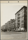
4044-1 Cherry St. lkg. West f…
m
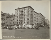
4044-2 Market St. lkg. North …
m
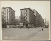
4044-6 Lkg. South on Catherin…
m
4044-7 Lkg. West on Monroe St…
m
4044-8 Lkg. South on Market S…
m
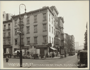
#4148-1 From Market & Hamilto…
m
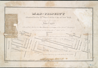
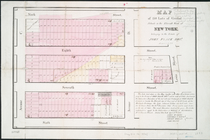
Map of property belonging to …
Map of portion of greater New…
m
Map of 45 lots of ground leas…
m
Map of a water grant between …
Executors sale of valuable re…
m
Map & plan of the contemplate…
Map & plan of the contemplate…
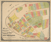
Map showing the old farms : f…
m
Map of the city of Brooklyn, …
Map of property situated in t…
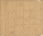
Map of 150 lots of ground sit…
m
Map of the original grants of…
m
Map of New York City from Bat…
m
Map showing the high and low …
m
Beers' new map of Staten Isla…
Map of John W. Decker's house…
Map of property belonging to …
Bounded by Stillwell Ave., Av…
Atlas of the entire city of N…
Map bounded by Vestry Street,…
Map bounded by Spring Street,…
Atlas of the city of New York…
Atlas of the city of New York…
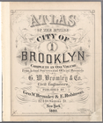
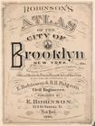
Atlas of the entire city of B…
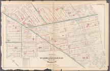
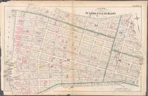
Plate 9: Bounded by Fulton St…
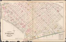
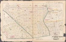
Plate 20: Bounded by S. 11th …
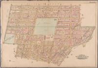
Plate 21: Bounded by Grand St…
Plate 28: Bounded by S. Schol…
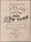
Robinson's atlas of the city …
Plate 5: [Bounded by Clermont…
Plate 9: [Bounded by S. 11th …
Plate 10: [Bounded by N. Seco…
Bounded by East 45th Street, …
Bounded by 66th Street, Seven…
Bounded by (U.S. Government R…
Plate 19: [Bounded by 72nd St…
Atlas of the city of New York…
Atlas of the city of New York…
Double Page Plate No. 30, Par…
Plate 24, Part of Section 10,…
Plate 26, Part of Section 10,…
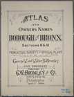
Atlas and owners names, borou…
Atlas and owners names, borou…