Click to visit the main New York Public Library Homepage
The New York Public Library
Digital Collections
About Digital Collections
Browse
Search only public domain materials
Items
Collections
Divisions
Home
Search
Browse
About
Search only public domain materials
Items
Collections
Divisions
Digital Collections
Using Images
Using Data
Search
Filtered search
Show filters
Hide filters
Show Only Public Domain
topic
x
Local transit
Piers
7
Railroads
6
Railroads, Elevated
6
Administrative and political divisions
5
More
Less
name
Hubacher, Max Henry, 1900-1989
5
Rand McNally and Company
5
Watson, Gaylord
3
Charles Magnus & Co
1
Disturnell, John, 1801-1877
1
More
Less
collection
Maps of New York City and State
13
Collection of photographs of New York City, New York State and more by Max Hubacher
5
place
x
New York (N.Y.)
Manhattan (New York, N.Y.)
15
New York (State)
13
Brooklyn (New York, N.Y.)
7
New York
5
More
Less
genre
Maps
13
Photographs
5
publisher
Rand, McNally & Co
3
Lawrence G. Goulding
2
Rand McNally & Co
2
Charles Magnus & Co
1
E. Belcher Hyde
1
More
Less
division
Map Division
13
Milstein Division
5
type
cartographic
13
still image
5
Date Range
to
18 results found
Filtering on:
x
Note
: Inscribed "to S. Watson from Johns Fergusson."
x
Place
: New York (N.Y.)
x
Topic
: Local transit
Sort by:
Title
Date created
Date digitized
Sequence
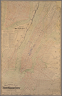
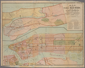
Map of portion of greater New…
m
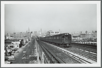
Westward view from the Lowery…
m
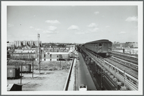
View from the N Street station
m
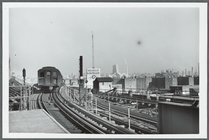
View from the top of the Quee…
m
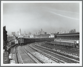
Elevated subway with view fro…
m
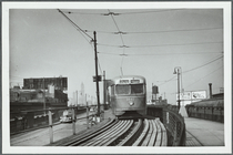
One of the last streetcars co…
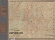
Rand, McNally & Co.'s map of …
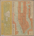
Rand McNally & Co.'s guide ma…
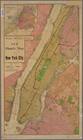
New York and its surroundings…
Goulding's directory map of N…
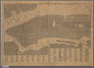
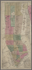
Map of the city of New York s…
Rand, McNally & Co.'s new han…
m
Goulding's directory map of N…
m
Rand, McNally & Co.'s map of …
m
Rand, McNally & Co.'s map of …
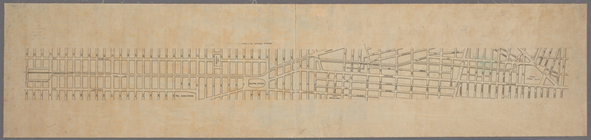
Map of the street railway run…
m
Map showing the lines of the …
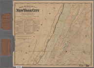
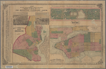
New-York : Map of the consoli…
End of results
|
Top