Click to visit the main New York Public Library Homepage
The New York Public Library
Digital Collections
About Digital Collections
Browse
Search only public domain materials
Items
Collections
Divisions
Home
Search
Browse
About
Search only public domain materials
Items
Collections
Divisions
Digital Collections
Using Images
Using Data
Search
Filtered search
Show filters
Hide filters
Show Only Public Domain
topic
x
Administrative and political divisions
Local transit
5
Maps
5
Railroads
5
Piers
4
More
Less
name
Watson, Gaylord
4
Rand McNally and Company
3
G.W. & C.B. Colton & Co
2
Huntington, Eleazar (1789-1852 )
2
Mitchell, S. Augustus (Samuel Augustus), 1792-1868
2
More
Less
collection
Maps of New York City and State
22
place
x
New York (State)
New York (N.Y.)
6
Manhattan (New York, N.Y.)
5
Brooklyn (New York, N.Y.)
3
Erie Canal (N.Y.)
3
More
Less
genre
Maps
22
publisher
G.W. & C.B. Colton & Co
2
Lawrence G. Goulding
2
Charles Magnus & Co
1
E. Huntington
1
E. Huntington : Sold by Andrus & Judd
1
More
Less
division
Map Division
22
type
cartographic
22
text
1
Date Range
to
22 results found
Filtering on:
x
Note
: Inscribed "to S. Watson from Johns Fergusson."
x
Place
: New York (State)
x
Topic
: Administrative and political divisions
Sort by:
Title
Date created
Date digitized
Sequence
Northern coast of Long Island…
The Matthews-Northrup Co.'s n…
Rand, McNally & Co.'s New York
Map of the province of New Yo…
Map of the New York wildernes…
Rand, McNally & Co.'s New York
Rand McNally & Co.'s new rail…
Map of the New York wildernes…
The tourist's map of the stat…
m
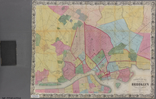
Map of the city of Brooklyn, …
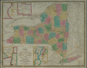
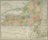
Map of the state of New York …
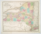
Map of the state of New York …
The state of New York from th…
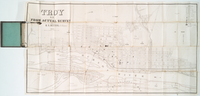
Troy, N.Y., from actual survey
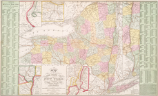
Map of the state of New York …
The state of New York from th…
Goulding's directory map of N…
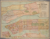
Map of the city of New York s…
m
Goulding's directory map of N…
m
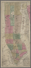
Watson's new map of the city …
m
Map showing the lines of the …
New-York : Map of the consoli…
End of results
|
Top