Click to visit the main New York Public Library Homepage
The New York Public Library
Digital Collections
About Digital Collections
Browse
Search only public domain materials
Items
Collections
Divisions
Home
Search
Browse
About
Search only public domain materials
Items
Collections
Divisions
Digital Collections
Using Images
Using Data
Search
Filtered search
Show filters
Hide filters
Show Only Public Domain
topic
Nautical charts
5
Science
2
Social sciences
2
Herring
1
Ocean temperature
1
More
Less
name
American Philosophical Society
2
Anse, Luggert van, active 1690-1716
1
Bowen, Emanuel, 1693 or 1694-1767
1
Heather, William
1
Innys, John
1
More
Less
collection
Lawrence H. Slaughter Collection of English maps, charts, globes, books and atlases
9
John H. Levine Collection
1
place
x
North Atlantic Ocean -- Maps -- Early works to 1800
North Atlantic Ocean
7
Atlantic Ocean
2
Atlantic Ocean -- Maps -- Early works to 1800
2
Gulf Stream
2
More
Less
genre
Maps
10
publisher
The Society,
2
Chez Pierre Mortier libraire,
1
Gedruckt ... durch Matthaeum Becker,
1
Gedruckt by L. Renard,
1
Printed for James and John Knapton, William and John Innys in St. Paul's Church-yard ...,
1
More
Less
division
Map Division
10
type
cartographic
10
Date Range
to
10 results found
Filtering on:
x
Place
: North Atlantic Ocean -- Maps -- Early works to 1800
Sort by:
Title
Date created
Date digitized
Sequence
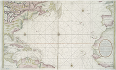
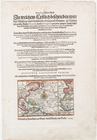
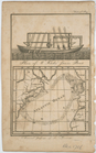
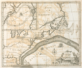
Nieuwe wassende graade zee ka…
Ocean Atlantique, ou, Mer du …
Mare del Nort.
Annual passage of the herring…
Terra nova, ac maris tractus …
A New and correct chart of th…
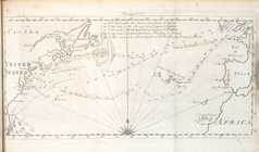
A chart of the Gulf Stream
Map of the North Atlantic Oce…
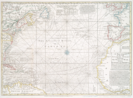
A new chart of the Atlantic o…
A new chart of the vast Atlan…