Click to visit the main New York Public Library Homepage
The New York Public Library
Digital Collections
About Digital Collections
Browse
Search only public domain materials
Items
Collections
Divisions
Home
Search
Browse
About
Search only public domain materials
Items
Collections
Divisions
Digital Collections
Using Images
Using Data
Search
Filtered search
Show filters
Hide filters
Show Only Public Domain
topic
x
Ferries
Railroads
44
Administrative and political divisions
13
Rivers
13
Harbors
12
More
Less
name
A. Brown & Co
8
Rand McNally and Company
7
Watson, Gaylord
7
McCloskey, Henry
5
Lange, Dorothea
4
More
Less
collection
Maps of New York City and State
53
Robert N. Dennis collection of stereoscopic views
15
Emmet Collection of Manuscripts Etc. Relating to American History
11
Maps of North America
9
Historical postcards of New York City
7
More
Less
place
New York (State)
84
New York
75
New York (N.Y.)
42
Brooklyn (New York, N.Y.)
32
Manhattan (New York, N.Y.)
31
More
Less
genre
Maps
62
Photographs
25
Prints
20
Stereographs
15
Postcards
10
More
Less
publisher
A. Brown & Co
5
Gaylord Watson
5
publisher not identified
4
A. Brown
3
Geo. H. Walker & Co
3
More
Less
division
Map Division
61
Wallach Division: Photography Collection
24
Wallach Division: Print Collection
18
Wallach Division: Picture Collection
7
Milstein Division
3
More
Less
type
cartographic
62
still image
55
text
2
Date Range
to
118 results found
Filtering on:
x
Rights
: Public Domain
x
Topic
: Ferries
x
Topic
: Ferries
Sort by:
Title
Date created
Date digitized
Sequence
Educational extension work of…
m
Rand, McNally & Co.'s complet…
Brooklyn, from Rand McNally m…
The Brooklyn of the future : …
Brooklyn and vicinity
Transportation lines connecti…
Map of the City of New York a…
The Matthews-Northrup up-to-d…
m
Topographical map of New York…
m
Map of the consolidated City …
Mapa de la ciudad de Nueva Yo…
m
Robinson's map of New York Ci…
Proposed site on Staten Islan…
m
Watson's new map of New York …
m
Watson's new map of New York …
m
Street guide of Manhattan and…
m
Map of the City of New York a…
m
Watson's new map of New York,…
Hagstrom's map of ... New Yor…
Map of Conanicut Island, oppo…
m
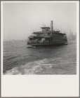
Ferry boats still make train …
m
Ferry boats still transport s…
m
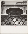
Ferry slip seen from ferry wh…
m
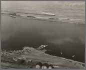
Shows ferry which crosses the…
Hawaii
A Negro boy at the ferry
m
Specification of Fulton's fer…
m
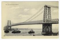
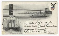
The Williamsburg Bridge
m
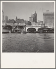
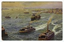
Port of New-York
m
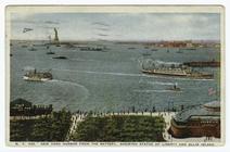
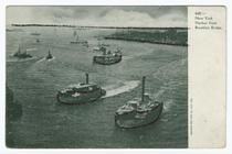
New York Harbor from the Batt…
m
New York Harbor from Brooklyn…
m
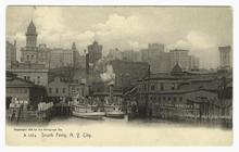
South Ferry, N.Y. City
m
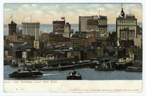
Tall buildings lower New York
m
Brooklyn Bridge ; promenade o…
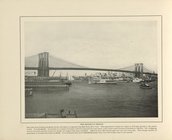
The Brooklyn Bridge
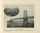
The Williamsburg Bridge
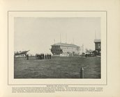
Receiving Ship at Navy Yard
Rapid Transit Commission, map…
Boston and surroundings
Bird's-eye view of the Easter…
Map of Boston and vicinity
Map of Long Island Sound show…
Mount Desert [Island] via Bos…
Boston and surroundings
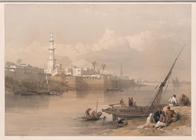
View on the Nile - Ferry to G…
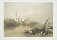
View on the Nile: ferry to Gi…
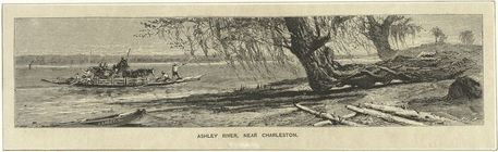
Ashley River, near Charleston.
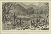
A ferry on the French Broad.
Kawasaki, Rokugō watashi-bune
Mitsuke, Tenryu gawa