Click to visit the main New York Public Library Homepage
The New York Public Library
Digital Collections
About Digital Collections
Browse
Search only public domain materials
Items
Collections
Divisions
Home
Search
Browse
About
Search only public domain materials
Items
Collections
Divisions
Digital Collections
Using Images
Using Data
Search
Filtered search
Show filters
Hide filters
Show Only Public Domain
topic
x
Railroads, Elevated
Administrative and political divisions
10
Streets
6
Local transit
4
Railroads
3
More
Less
name
J.B. Beers & Co
5
Laine & Healy
3
E. Belcher Hyde (Firm)
2
Brooklyn Daily Eagle (Firm)
1
G.W. & C.B. Colton & Co
1
More
Less
collection
Maps of New York City and State
10
place
New York (State)
10
New York
8
Brooklyn (New York, N.Y.)
7
Brooklyn
2
Kings County
2
More
Less
genre
Maps
10
Cadastral maps
1
Mass transit
1
publisher
Laine & Healy
3
E. Belcher Hyde
2
G.W. & C.B. Colton & Co
1
J.B. Beers & Co
1
John Beatson
1
More
Less
division
Map Division
10
type
cartographic
10
Date Range
to
10 results found
Filtering on:
x
Topic
: Railroads, Elevated
x
Topic
: Administrative and political divisions
Sort by:
Title
Date created
Date digitized
Sequence
m
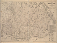
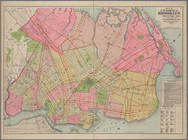
Map of the borough of Brookly…
m
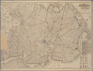
Map of the borough of Queens,…
m
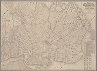
Eagle Almanac map of the boro…
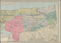
Map of the enlarged city of B…
Map of the borough of Brookly…
m
Map of the enlarged city of B…
m
Map of the enlarged city of B…
m
Map of the City & County of N…
m
Map showing the lines of the …
Map of the enlarged city of B…