Click to visit the main New York Public Library Homepage
The New York Public Library
Digital Collections
About Digital Collections
Browse
Search only public domain materials
Items
Collections
Divisions
Home
Search
Browse
About
Search only public domain materials
Items
Collections
Divisions
Digital Collections
Using Images
Using Data
Search
Filtered search
Show filters
Hide filters
Show Only Public Domain
topic
x
Real property
Fire insurance
5198
Cities & towns
5007
Landowners
484
Business enterprises
468
More
Less
name
Sanborn Map Company
5103
G.W. Bromley & Co
2177
Ullitz, Hugo
606
E.B. Hyde & Co
545
E. Belcher Hyde Map Company
488
More
Less
collection
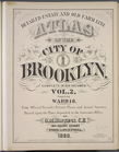
Atlases of New York City
8459
Atlases of the United States
1859
Maps of North America
359
Maps of New York City and State
300
Collection of broadside real estate maps announcing auctions of lots in early 19th century New York City
67
More
Less
place
New York (State)
10441
New York
3149
Manhattan (New York, N.Y.)
1973
New York (N.Y.)
846
Brooklyn (New York, N.Y.)
812
More
Less
genre
Maps
10746
Atlases
1856
Cadastral maps
567
Indexes
126
Title pages
81
More
Less
publisher
Sanborn Map Company
5009
G.W. Bromley & Co
1997
E. Belcher Hyde
425
E. Robinson Co
246
F. W. Beers & Co
148
More
Less
division
Map Division
10890
Milstein Division
52
Manuscripts and Archives Division
20
Schomburg Jean Blackwell Hutson Research and Reference Division
10
No Division
1
type
cartographic
10813
text
354
still image
81
Date Range
to
11,103 results found
Filtering on:
x
Topic
: Real property
Sort by:
Title
Date created
Date digitized
Sequence
Results 4001 - 4050
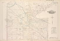
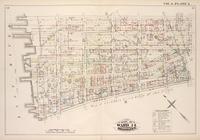
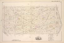
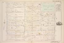
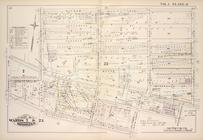
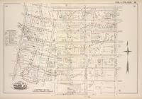
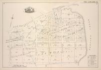
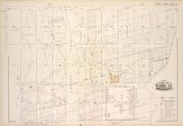
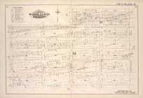
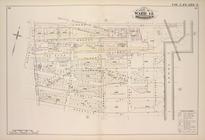
Map bound by Van Cott Ave., V…
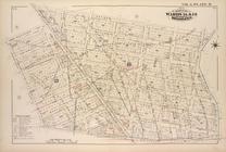
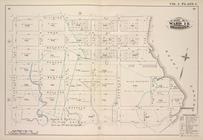
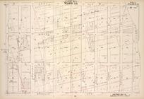
Map bound by Conselyea St., B…
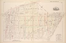
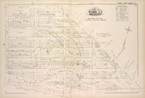
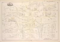
Map bound by Sixth St., N.6th…
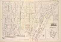
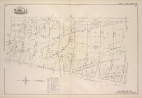
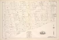
Map bound by Bushwick Inlet, …
Map bound by N.6th St., Sixth…
Map bound by Grand St., Seven…
Map bound by S. Sixth St., Br…
Map bound by Grand St., Eleve…
Map bound by Ten Eyck St., Ol…
Map bound by Boerum St., Bush…
Map bound by Broadway, Middle…
Map bound by Lee Ave., Flushi…
Map bound by First St., Secon…
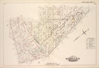
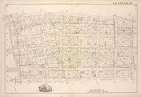
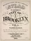
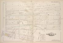
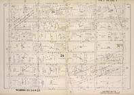
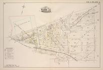
Detailed Estate and Old Farm …
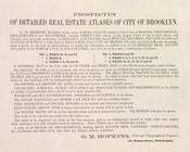
Prospectus of Detailed Real E…
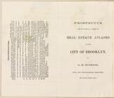
Prospectus For Publishing A S…
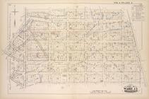
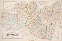
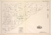
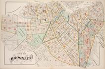
Index Map of Brooklyn
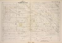
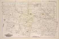
Map bounded by Lafayette Ave.…
Map bounded by Lafayette Ave.…
Map bounded by Lafayette Ave.…
Map bounded by Putnam Ave., T…
Map bounded by Putnam Ave., S…
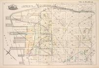
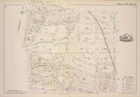
Map bounded by Madison St., R…
Map bounded by Madison St., B…
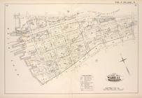
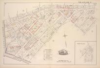
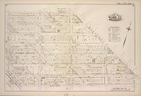
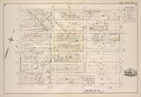
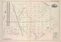
Map bound by Atlantic Ave., N…
Map bound by Herkimer St., Tr…
Map bound by Decatur St., Pat…
Map bound by Decatur St., Sar…
Map bound by Meeker Ave., New…
Map bound by Division Pl., Ne…
Map bound by Decatur St., Bro…
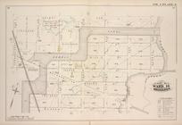
Map bound by Roges Ave., City…
Map bound by Brooklyn Ave., C…
Map bound by Troy Ave., City …
Map bound by Dean St., Pacifi…
Map bound by Douglass St., Bu…
Map bound by Atlantic Ave., H…
Map bound by Prospect Pl., Ho…
Map bound by Herkimer St., Ro…
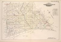
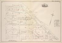
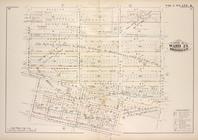
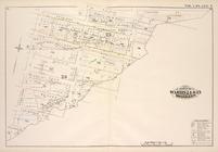
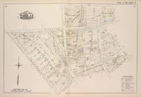
Detailed Estate and Old Farm …
Index Map of Brooklyn
Map bound by Bayard (Sanford)…
.Map bound by Frost St., King…
Map bound by Orient Ave., Cit…
Map bound by Grand St., Canal…
Map bound by Meserole St., Ca…
Map bound by Meadow St., Metr…
Map bound by Flushing Ave., B…
Map bound by Bogart St., Tham…
Map bound by City Line, Green…
1
2
…
14
15
16
17
18
19
20
21
…
44
45
Previous
Next
1
2
…
14
15
16
17
18
19
20
21
…
44
45
Previous
Next