


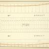
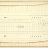
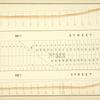
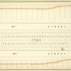
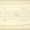
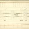
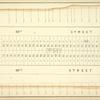
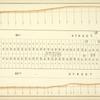
![New reservoir. [Order creating commission to obtain land for the reservoir.]](https://images.nypl.org/index.php?id=1648986&t=b)

- The Library Shop
- Privacy Policy
- Rules and Regulations
- Using the Internet
- Website Terms and Conditions
- Gifts of Materials to NYPL
-
© The New York Public Library, 2025
The New York Public Library is a 501(c)(3) | EIN 13-1887440
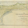
Lionel Pincus and Princess Firyal Map Division, The New York Public Library. "1609. The island of Manhattan (Mannahtin) at the time of its discovery showing its elevations, water-courses, marshes, and shore line." The New York Public Library Digital Collections. 1909. https://digitalcollections.nypl.org/items/97ed9cfe-65c8-4aa1-e040-e00a18067611
Lionel Pincus and Princess Firyal Map Division, The New York Public Library. "1609. The island of Manhattan (Mannahtin) at the time of its discovery showing its elevations, water-courses, marshes, and shore line." New York Public Library Digital Collections. Accessed February 6, 2025. https://digitalcollections.nypl.org/items/97ed9cfe-65c8-4aa1-e040-e00a18067611
Lionel Pincus and Princess Firyal Map Division, The New York Public Library. (1909). 1609. The island of Manhattan (Mannahtin) at the time of its discovery showing its elevations, water-courses, marshes, and shore line. Retrieved from https://digitalcollections.nypl.org/items/97ed9cfe-65c8-4aa1-e040-e00a18067611
<ref name=NYPL>{{cite web | url=https://digitalcollections.nypl.org/items/97ed9cfe-65c8-4aa1-e040-e00a18067611 | title=
(cartographic)
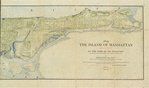
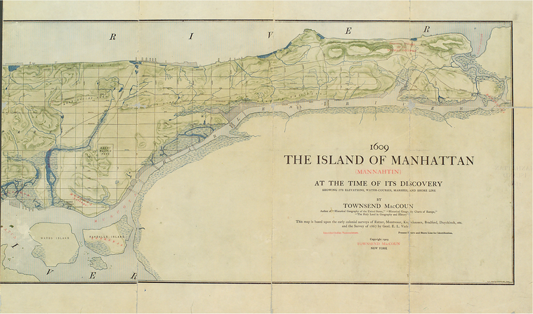
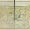
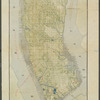
1609. The island of Manhattan (Mannahtin) at the time of its discovery showing its elevations, water-courses, marshes, and shore line., (1909)
|author=Digital Collections, The New York Public Library |accessdate=February 6, 2025 |publisher=The New York Public Library, Astor, Lenox, and Tilden Foundations}}</ref>